Glebe Farm 40B
| Glebe Farm 40B | |
|---|---|
| Indian reserve | |
| Glebe Farm Indian Reserve No. 40B | |
 Glebe Farm 40B | |
| Coordinates: 43°08′N 80°14′W / 43.133°N 80.233°WCoordinates: 43°08′N 80°14′W / 43.133°N 80.233°W | |
| Country |
|
| Province |
|
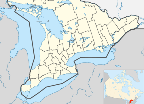
| County | Brant |
| First Nations | Bay of Quinte Mohawks, Bearfoot Onondaga, Delaware, Konadaha Seneca, Lower Cayuga, Lower Mohawk, Niharondasa Seneca, Oneida, Onondaga Clear Sky, Tuscarora, Upper Cayuga, Upper Mohawk & Walker Mohawk |
| Area | |
| • Land | 0.41 km2 (0.16 sq mi) |
| Time zone | EST (UTC-5) |
| • Summer (DST) | EDT (UTC-4) |
Glebe Farm 40 is a shared First Nations reserve within the city of Brantford. It is shared between the Bay of Quinte Mohawks, Bearfoot Onondaga, Delaware, Konadaha Seneca, Lower Cayuga, Lower Mohawk, Niharondasa Seneca, Oneida, Onondaga Clear Sky, Tuscarora, Upper Cayuga, Upper Mohawk & Walker Mohawk First Nations.
This article is issued from Wikipedia - version of the 1/26/2016. The text is available under the Creative Commons Attribution/Share Alike but additional terms may apply for the media files.