Gijet
| Gijet | |
|---|---|
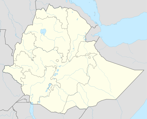 Gijet Location within Ethiopia | |
| Coordinates: 13°19′N 39°10.5′E / 13.317°N 39.1750°ECoordinates: 13°19′N 39°10.5′E / 13.317°N 39.1750°E | |
| Country | Ethiopia |
| Region | Tigray |
| Zone | Debub Misraqawi Zone |
| District | Saharti Samre |
| Elevation | 2,070 m (6,790 ft) |
| Time zone | EAT (UTC+3) |
Gijet is a town in southern Tigray, Ethiopia. This town has a latitude and longitude of 13°19′N 39°10.5′E / 13.317°N 39.1750°E with an elevation of 2070 to 2100 meters above sea level. Gijet is the largest settlement in the Saharti Samre district. During the Imperial era, Gijet was the center of the Saharti woreda.
This article is issued from Wikipedia - version of the 3/15/2015. The text is available under the Creative Commons Attribution/Share Alike but additional terms may apply for the media files.