Geitlandsjökull
| Geitlandsjökull | |
|---|---|
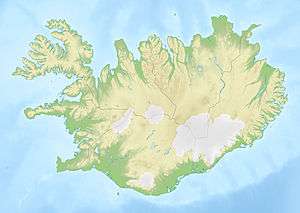 Geitlandsjökull Location in Iceland | |
| Highest point | |
| Elevation | 1,400 m (4,600 ft) |
| Coordinates | 64°36′00″N 20°36′00″W / 64.60000°N 20.60000°WCoordinates: 64°36′00″N 20°36′00″W / 64.60000°N 20.60000°W |
| Geography | |
| Location | Iceland |
| Geology | |
| Mountain type | Tuya |
Geitlandsjökull is a lateral glacier of Langjökull, the second largest ice cap in Iceland (953 km2), in the west of Iceland. The highest point of Geitlandsjökull, which lies on top of a tuya, reaches a height of 1,400 m.[1][2]
References
This article is issued from Wikipedia - version of the 12/27/2015. The text is available under the Creative Commons Attribution/Share Alike but additional terms may apply for the media files.