Gaussian grid
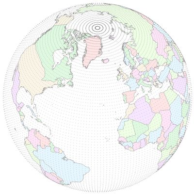
A Gaussian grid is used in the earth sciences as a gridded horizontal coordinate system for scientific modeling on a sphere (i.e., the approximate shape of the Earth). The grid is rectangular, with a set number of orthogonal coordinates (usually latitude and longitude).
The gridpoints along each latitude (or parallel), i.e., the longitudes, are equally spaced. Thus, at each latitude, the distance between any two adjacent degrees of longitude is the same. However the gridpoints along each longitude (or meridian), i.e., the latitudes, are unequally spaced: the distance between adjacent degrees of latitude will vary. Instead, spacing of latitudes is defined by the Gaussian quadrature. By contrast, in the "normal" geographic latitude-longitude grid, gridpoints are equally spaced along both latitudes and longitudes. Gaussian grids also have no grid points at the poles.
In a regular Gaussian grid, the number of gridpoints along the longitudes is constant, usually double the number along the latitudes. In a reduced (or thinned) Gaussian grid, the number of gridpoints in the rows decreases towards the poles, which keeps the gridpoint separation approximately constant across the sphere.
Examples of Gaussian grids
- CCCma global climate models of climate change
- [96×48]
- [128×64]
- European Centre for Medium-Range Weather Forecasts
- 192×96
- 320×160
- 512×256
- 640×320
- 800×400
- 1024×512
- 1600×800
- 2048×1024
- 2560×1280
- Features for ERA-40 grids
See also
References
- NCAR Command Language documentation
- W.M. Washington and C.L. Parkinson, 2005. An Introduction to Three-Dimensional Climate Modeling. Sausalito, CA, University Science Books. 368 pp.
- Hortal, Mariano, and A. J. Simmons, 1991. Use of reduced Gaussian grids in spectral models. Monthly Weather Review 119.4 : 1057-1074.