Gardner, Louisiana
| Gardner, Louisiana | |
|---|---|
| Unincorporated community | |
 Gardner, Louisiana  Gardner, Louisiana | |
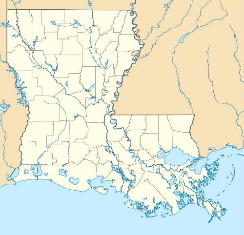
| Coordinates: 31°16′11″N 92°41′35″W / 31.26972°N 92.69306°WCoordinates: 31°16′11″N 92°41′35″W / 31.26972°N 92.69306°W | |
| Country | United States |
| State | Louisiana |
| Parish | Rapides |
| Elevation | 184 ft (56 m) |
| Population | |
| • Total | 1,965 |
| Time zone | Central (CST) (UTC-6) |
| • Summer (DST) | CDT (UTC-5) |
| ZIP code | 71431 |
| Area code(s) | 318 |
| GNIS feature ID | 547386[1] |
Gardner is an unincorporated community in Rapides Parish, Louisiana, United States. Gardner is part of the Alexandria Metropolitan Statistical Area. It is located at the junction of Louisiana Highway 28 and Louisiana Highway 121 15 miles (24 km) west-southwest of Alexandria.[2] Gardner has a population of 1,965.[3] Gardner's post office ZIP code 71431.[4][5] China Grove, a house listed on the National Register of Historic Places, is located in Gardner.[6]
B.G. Dyess, a Southern Baptist pastor for seventy-three years and a member of the Louisiana State Senate from 1996 to 2000, was born in the Gardner Community in 1922 and is interred there at the Calvary Baptist Church Cemetery.
References
- ↑ "Gardner". Geographic Names Information System. United States Geological Survey.
- ↑ Rapides Parish West Section (PDF) (Map). Louisiana Department of Transportation and Development. 2012. Retrieved September 7, 2012.
- ↑ "Gandner LA Census Records". 5 April 2013. Retrieved April 7, 2013.
- ↑ United States Postal Service (2012). "USPS - Look Up a ZIP Code". Retrieved 2012-02-15.
- ↑ "Postmaster Finder - Post Offices by ZIP Code". United States Postal Service. Retrieved September 7, 2012.
- ↑ National Park Service (2010-07-09). "National Register Information System". National Register of Historic Places. National Park Service.
Municipalities and communities of Rapides Parish, Louisiana, United States | ||
|---|---|---|
| Cities |  | |
| Towns | ||
| Villages | ||
| CDP | ||
| Other unincorporated communities | ||
This article is issued from Wikipedia - version of the 7/31/2016. The text is available under the Creative Commons Attribution/Share Alike but additional terms may apply for the media files.