Galesburg Municipal Airport
Coordinates: 40°56′17″N 090°25′52″W / 40.93806°N 90.43111°W
| Galesburg Municipal Airport | |||||||||||||||
|---|---|---|---|---|---|---|---|---|---|---|---|---|---|---|---|
| IATA: GBG – ICAO: KGBG – FAA LID: GBG | |||||||||||||||
| Summary | |||||||||||||||
| Airport type | Public | ||||||||||||||
| Owner | City of Galesburg | ||||||||||||||
| Serves | Galesburg, Illinois | ||||||||||||||
| Elevation AMSL | 764 ft / 233 m | ||||||||||||||
| Website | ci.galesburg.il.us/airport/ | ||||||||||||||
| Map | |||||||||||||||
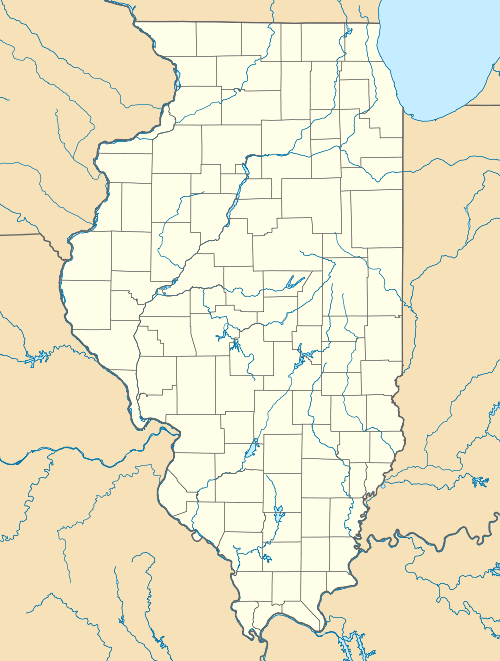 GBG  GBG Location of airport in Illinois/United States | |||||||||||||||
| Runways | |||||||||||||||
| |||||||||||||||
| Statistics (2005) | |||||||||||||||
| |||||||||||||||
Galesburg Municipal Airport (IATA: GBG, ICAO: KGBG, FAA LID: GBG) is a city-owned public-use airport located three miles (5 km) west of the central business district of Galesburg, a city in Knox County, Illinois, United States.[1]
Facilities and aircraft
Galesburg Municipal Airport covers an area of 623 acres (252 ha) which contains two asphalt paved runways: 3/21 measuring 5,793 by 150 ft (1,766 by 46 m) and 10/28 measuring 3,601 by 100 ft (1,098 by 30 m). For the 12-month period ending December 31, 2005, the airport had 14,000 aircraft operations, an average of 38 per day: 79% general aviation, 18% air taxi and 3% military.[1]
References
External links
- Galesburg Municipal Airport at City of Galesburg web site
- Resources for this airport:
- FAA airport information for GBG
- AirNav airport information for KGBG
- ASN accident history for GBG
- FlightAware airport information and live flight tracker
- NOAA/NWS latest weather observations
- SkyVector aeronautical chart, Terminal Procedures
This article is issued from Wikipedia - version of the 11/8/2016. The text is available under the Creative Commons Attribution/Share Alike but additional terms may apply for the media files.