Fujiwara Dam
| Fujiwara Dam | |
|---|---|
 | |
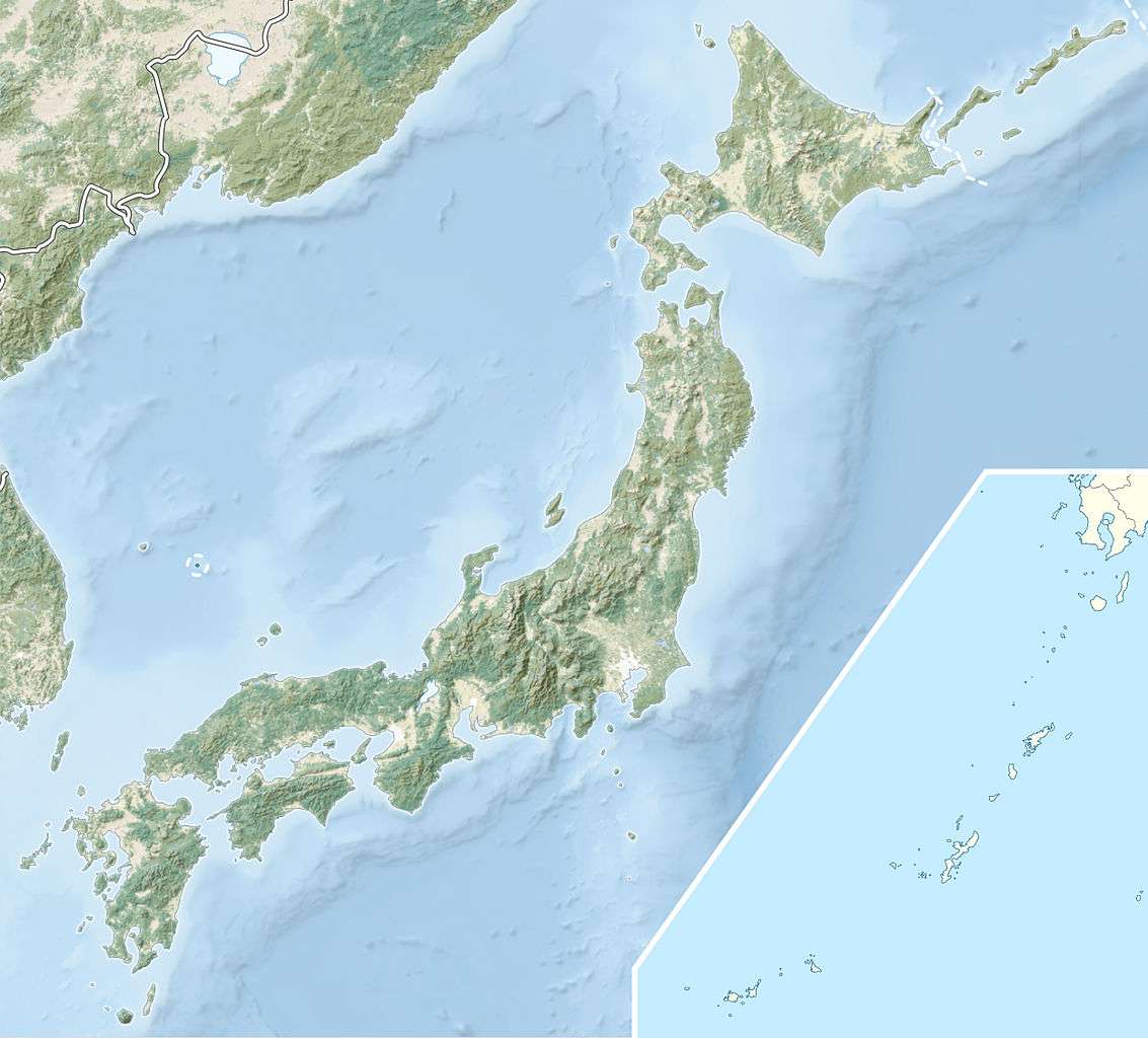 Location of Fujiwara Dam in Japan | |
| Country | Japan |
| Location | Minakami |
| Coordinates | 36°48′16″N 139°02′12″E / 36.80444°N 139.03667°ECoordinates: 36°48′16″N 139°02′12″E / 36.80444°N 139.03667°E |
| Status | Operational |
| Construction began | 1951 |
| Opening date | 1957 |
| Owner(s) | TEPCO |
| Dam and spillways | |
| Type of dam | Concrete gravity |
| Impounds | Tone River tributary |
| Height | 95 m (312 ft) |
| Length | 230 m (755 ft) |
| Dam volume | 415,000 m3 (542,800 cu yd) |
| Reservoir | |
| Total capacity | 52,490,000 m3 (42,554 acre·ft) |
| Active capacity | 35,890,000 m3 (29,096 acre·ft) |
| Catchment area | 401 km2 (155 sq mi) |
| Surface area | 1.69 km2 (1 sq mi) |
| Normal elevation | 651 m (2,136 ft) |
| Power station | |
| Commission date | 1956 |
| Hydraulic head | 92 m (302 ft) |
| Turbines | 1 x 23 MW Francis-type |
| Installed capacity | 23 MW |
Fujiwara Dam (藤原ダム) is a gravity dam on a Tone River tributary in Gunma Prefecture of Japan. It is located 14 km (9 mi) north of Minakami. It was constructed between 1951 and 1957. The dam itself supports a single Francis turbine hydroelectric generator with a 23 MW capacity which was commissioned in 1957. The reservoir created by the dam serves as the lower reservoir for the 1,200 Tamahara Pumped Storage Power Station which was commissioned in 1986. The dam is 95 m (312 ft) high and withholds a reservoir with a 52,490,000 m3 (42,554 acre·ft) storage capacity.[1][2]
See also
References
- ↑ "Tokyo Electric Power Co. power plant Fujiwara" (in Japanese). Suiryoku. Retrieved 17 February 2012.
- ↑ "Tokyo Electric Power Co. power plant Tamahara" (in Japanese). Suiryoku. Retrieved 17 February 2012.
| Wikimedia Commons has media related to Fujiwara Dam. |
This article is issued from Wikipedia - version of the 9/16/2015. The text is available under the Creative Commons Attribution/Share Alike but additional terms may apply for the media files.