Fucha Peak
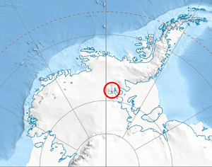
Fucha Peak (Bulgarian: връх Фуча, ‘Vrah Fucha’ \'vr&h 'fu-cha\) is the peak rising to 2600 m in the central part of Bangey Heights, north-central Sentinel Range in Ellsworth Mountains, Antarctica. It surmounts Marsa Glacier to the west and Padala Glacier to the southeast.
The peak is named after the settlements of Mala (Little) Fucha and Golema (Great) Fucha in Western Bulgaria.
Location
Fucha Peak is located at 78°02′16″S 85°37′15″W / 78.03778°S 85.62083°WCoordinates: 78°02′16″S 85°37′15″W / 78.03778°S 85.62083°W, which is 2.45 km northeast of Golemani Peak, 2.66 km east of Oreshak Peak, 2.8 km south by west of Mount Schmid, and 11.43 km northwest of Zimornitsa Peak. US mapping in 1961, updated in 1988.
Maps
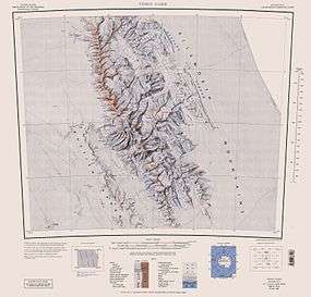
- Vinson Massif. Scale 1:250 000 topographic map. Reston, Virginia: US Geological Survey, 1988.
References
- Fuchs Peak. SCAR Composite Antarctic Gazetteer.
- Bulgarian Antarctic Gazetteer. Antarctic Place-names Commission. (details in Bulgarian, basic data in English)
This article includes information from the Antarctic Place-names Commission of Bulgaria which is used with permission.