Frutz
| Frutz | |
|---|---|
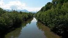 River Frutz just before the confluence with the Rhine (photographed from the bikebridge) | |
| Country | Vorarlberg, Austria |
| Basin | |
| Main source |
Frutz Alpine Hut 1,800 m (5,900 ft) |
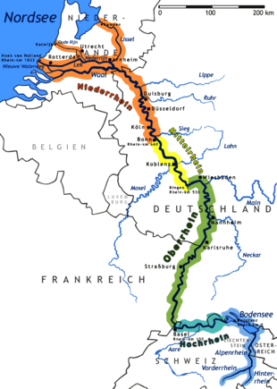
| River mouth | Rhine |
| Physical characteristics | |
| Length | ~ 19 km (12 mi) |
The Frutz is a 19 km long river, which flows in western direction through the "Laterns" Valley in the area of Feldkirch to the Rhine. At Rankweil the river divides into a side and main arm. The smaller one has an own name called "Ehbach". Near the mouth both arms merge again into one arm and then merge with the Rhine.
Bigger locations on the River are:
Coordinates: 47°19′03″N 9°35′21″E / 47.31750°N 9.58917°E
Tributaries of the Rhine | ||
|---|---|---|
| Left (western) |
|  |
| Right (eastern) |
| |
This article is issued from Wikipedia - version of the 9/22/2016. The text is available under the Creative Commons Attribution/Share Alike but additional terms may apply for the media files.