Freston, Suffolk
| Freston | |
 Freston Tower |
|
 Freston |
|
| Population | 120 (2011) |
|---|---|
| OS grid reference | TM 17043 39037 |
| District | Babergh |
| Shire county | Suffolk |
| Region | East |
| Country | England |
| Sovereign state | United Kingdom |
| Post town | IPSWICH |
| Postcode district | IP9 |
| Police | Suffolk |
| Fire | Suffolk |
| Ambulance | East of England |
| EU Parliament | East of England |
| UK Parliament | South Suffolk |
Coordinates: 52°00′26″N 1°09′39″E / 52.007309°N 1.160960°E
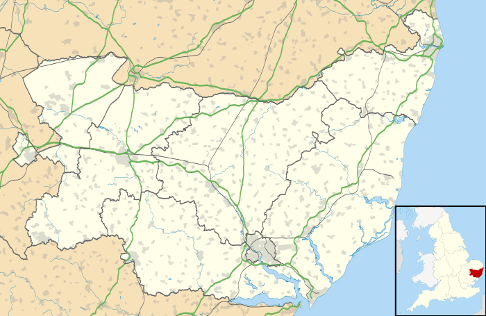
Freston is a small village and civil parish in Suffolk, England located on the Shotley peninsula. It is situated 4 miles south-east of Ipswich. In 2001 there were 122 people living in Freston,[1] reducing slightly to 120 at the 2011 Census.[2]
History
Freston is notable as the location of the last outbreak of bubonic plague in England. The centre of the outbreak was Latimer Cottages, where it is thought plague-bearing rats may have come ashore with smuggled goods.[3] However, the diagnosis of plague has been disputed.[4]
Amenities and places of interest
- St. Peter's church
- The Freston Boot public house
- Freston Wood
- Freston Tower
Transport
For transport there is the B1456 road nearby.
References
- ↑ "Neighbourhood Statistics - Freston parish". Office for National Statistics. Retrieved 19 April 2012.
- ↑ "Parish population 2011". Retrieved 10 September 2015.
- ↑ Benedictow, Ole Jørgen (2004). The Black Death, 1346-1353: the complete history. Boydell & Brewer. p. 20. ISBN 0-85115-943-5.
- ↑ Shrewsbury, J. F. D. (2005). A History of Bubonic Plague in the British Isles. Cambridge University Press. pp. 509–510. ISBN 0-521-02247-9.
External links
![]() Media related to Freston at Wikimedia Commons
Media related to Freston at Wikimedia Commons
- "St. Peter's church - suffolkchurches.co.uk". Retrieved 14 April 2012.
- "Freston Boot - suffolkcamra.co.uk". Retrieved 14 April 2012.
- "Freston Wood EADT Suffolk Magazine Walks by Michael Anderton - anderton.btinternet.co.uk". Archived from the original on 24 July 2008. Retrieved 14 April 2012.
- "Freston Tower - landmarktrust.org.uk". Retrieved 14 April 2012.
- "Listed buildings in Freston - britishlistedbuildings.co.uk". Retrieved 14 April 2012.
- "Freston Local History Page - wanborough.ukuhost.co.uk". Retrieved 14 April 2012.
This article is issued from Wikipedia - version of the 9/13/2016. The text is available under the Creative Commons Attribution/Share Alike but additional terms may apply for the media files.