Francois, Newfoundland and Labrador
| Francois | |
|---|---|
| Outport | |
| Nickname(s): "Fransway" | |
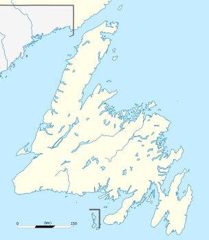 Francois Location of Francois in Newfoundland | |
| Coordinates: 47°34′6″N 56°44′30″W / 47.56833°N 56.74167°WCoordinates: 47°34′6″N 56°44′30″W / 47.56833°N 56.74167°W | |
| Country |
|
| Province |
|
| Population (2016) | |
| • Total | 80 |
| Time zone | Newfoundland Time (UTC-3:30) |
| • Summer (DST) | Newfoundland Daylight (UTC-2:30) |
| Area code(s) | 709 |
Francois (/frænˈsweɪ/ fran-SWAY) is a settlement and outport in the Canadian province of Newfoundland and Labrador. It is located on the southern coast of Newfoundland on François Bay.
There is no road access to the town, which can only be accessed by boat and helicopter, and snowmobile in the winter.[1][2][3]
The community was first settled in the 1700s, and resisted the government resettlement programs of the mid 20th century,[3] though it reconsidered and rejected resettlement in 2013.[4] It had a population of 107 in the Canada 2012 Census.
The tallest mountain in the community is the 600 ft Friar, and there are several walking trails in the area. The community has very little unemployment. The community's school has 13 students from kindergarten to grade 12. Most residents pronounce the name "Fran-sway", and its proper spelling is without the cedille found in the French word françois.
The community is approximately 36 km east of the community of Grey River.[4]
References
- ↑ Crummey, Michael. Sweet, secluded society, Saltscapes (May/June 2011)
- ↑ (12 October 2014 - air date?). Fog of the Outport, Land and Sea, CBC
- 1 2 (14 August 2014). What it means to be a Newfoundland is quickly changing, The Globe and Mail
- 1 2 MacIsaac, Chantelle (13 January 2014). No resettlement for Francois, Prince Albert Daily Herald