Folda, Angus
Coordinates: 56°45′48″N 3°19′48″W / 56.763197°N 3.329872°W
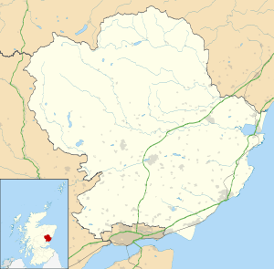
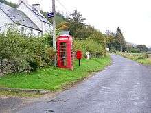
Folda is a hamlet in Glen Isla, Angus, Scotland.[1][2] It is situated on the River Isla, twelve miles north-west of Kirriemuir and eleven miles north of Blairgowrie, on the B951 road.
Folda
References
- ↑ Ordnance Survey: Landranger map sheet 43 Braemar & Blair Atholl (Map). Ordnance Survey. 2011. ISBN 9780319231197.
- ↑ "Ordnance Survey: 1:50,000 Scale Gazetteer" (csv (download)). www.ordnancesurvey.co.uk. Ordnance Survey. 1 January 2016. Retrieved 18 February 2016.
This article is issued from Wikipedia - version of the 2/21/2016. The text is available under the Creative Commons Attribution/Share Alike but additional terms may apply for the media files.