Findlay Airport
| Findlay Airport | |||||||||||||||
|---|---|---|---|---|---|---|---|---|---|---|---|---|---|---|---|
 | |||||||||||||||
| IATA: FDY – ICAO: KFDY – FAA LID: FDY | |||||||||||||||
| Summary | |||||||||||||||
| Airport type | Public | ||||||||||||||
| Owner | City of Findlay | ||||||||||||||
| Serves | Findlay, Ohio | ||||||||||||||
| Elevation AMSL | 813 ft / 248 m | ||||||||||||||
| Coordinates | 41°00′43″N 083°40′07″W / 41.01194°N 83.66861°W | ||||||||||||||
| Map | |||||||||||||||
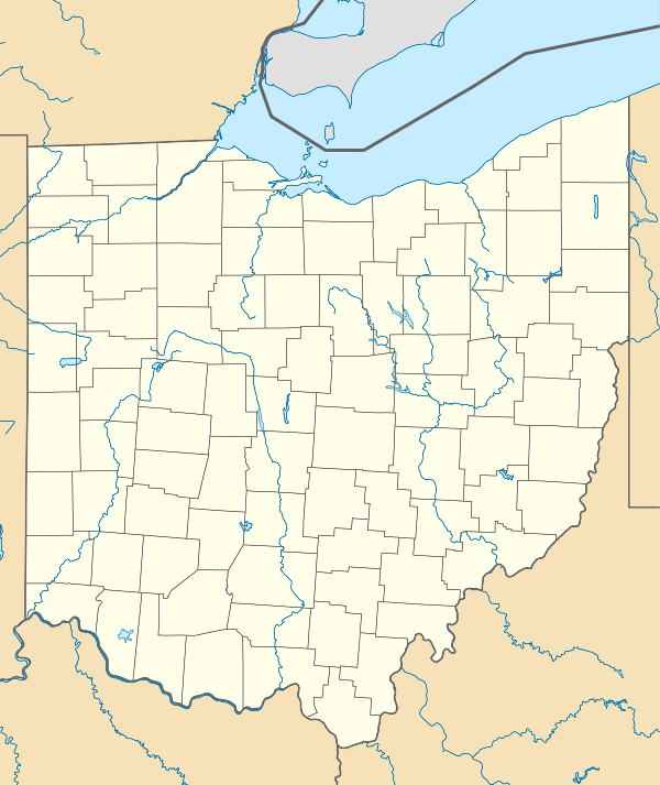 FDY  FDY Location of airport in Ohio/United States | |||||||||||||||
| Runways | |||||||||||||||
| |||||||||||||||
| Statistics (2006) | |||||||||||||||
| |||||||||||||||
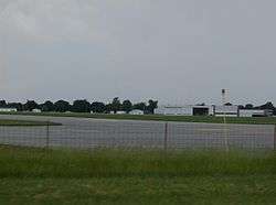
Findlay Airport (IATA: FDY, ICAO: KFDY, FAA LID: FDY) is a city-owned public-use airport located one nautical mile (1.6 km) southwest of the central business district of Findlay, a city in Hancock County, Ohio, United States.[1]
Facilities and aircraft
Findlay Airport covers an area of 338 acres (137 ha) at an elevation of 813 feet (248 m) above mean sea level. It has two runways: 7/25 with a 5,883 by 100 ft (1,793 x 30 m) asphalt pavement and 18/36 with a 6,498 by 100 feet (1,981 x 30 m) an asphalt surface. For the 12-month period ending October 18, 2006, the airport had 19,800 aircraft operations, an average of 54 per day: 96% general aviation, 2% air taxi and 2% military. At that time there were 27 aircraft based at this airport: 74% single-engine, 7% multi-engine, 15% jet and 4% helicopter.[1]
References
External links
- Airport page at City of Findlay website
- FAA Terminal Procedures for FDY, effective November 10, 2016
- Resources for this airport:
- FAA airport information for FDY
- AirNav airport information for KFDY
- ASN accident history for FDY
- FlightAware airport information and live flight tracker
- NOAA/NWS latest weather observations
- SkyVector aeronautical chart, Terminal Procedures