Fernbank, Victoria
| Fernbank Victoria | |||||||
|---|---|---|---|---|---|---|---|
 Fernbank | |||||||
| Coordinates | 37°52′S 147°20′E / 37.867°S 147.333°ECoordinates: 37°52′S 147°20′E / 37.867°S 147.333°E | ||||||
| Population | 630 (2001 census)[1] | ||||||
| Postcode(s) | 3864 | ||||||
| Elevation | 122 m (400 ft) | ||||||
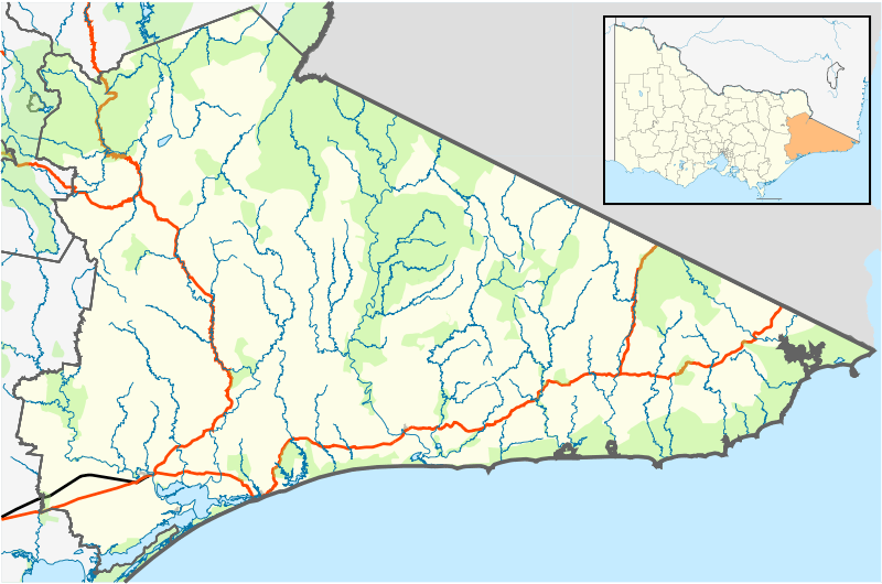
| Location |
| ||||||
| LGA(s) | Shire of East Gippsland | ||||||
| State electorate(s) | Gippsland East | ||||||
| Federal Division(s) | Gippsland | ||||||
| |||||||
Fernbank is a small country town on the Perry River in Victoria, Australia, approximately 310 km east of Melbourne. In the 2001 census, the small town of Fernbank had a population of 630.[1] With the main highway, Princes Highway close by, the small community not only services itself, but travellers along the main highway that stop for a break.
History
The origin of the town's name is somewhat of a mystery. It is commonly believed that the town was named after the plants that grow by the banks of the Perry River, the fern, giving rise to the name, Fern-bank.
Fernbank Post Office opened on 1 January 1868 and closed in 1977.[2]
Today
Approximately 2.5 km south-west of Fernbank is the Fernbank Landscape and Flora Reserve, just off of the main highway, Princes Highway. There are some walking tracks and picnic spots.
Transport
Fernbank used to be serviced by the Bairnsdale railway line, but the station closed to passengers in 1981 and then fully closed in 1996. There are still a disused crossing loop and goods platform at the station.
References
- 1 2 "ABS 2001 Census". 9 March 2006. Retrieved 5 October 2008.
- ↑ Premier Postal History. "Post Office List". Retrieved 11 April 2008.