Fayet-Ronaye
| Fayet-Ronaye | |
|---|---|
 | |
 Fayet-Ronaye | |
|
Location within Auvergne-Rhône-Alpes region  Fayet-Ronaye | |
| Coordinates: 45°25′34″N 3°32′12″E / 45.4261°N 3.5367°ECoordinates: 45°25′34″N 3°32′12″E / 45.4261°N 3.5367°E | |
| Country | France |
| Region | Auvergne-Rhône-Alpes |
| Department | Puy-de-Dôme |
| Arrondissement | Arrondissement of Ambert |
| Canton | Canton of Saint-Germain-l'Herm |
| Intercommunality | Communauté de communes du Haut-Livradois |
| Government | |
| • Mayor (2008–2014) | Yves Bouchet |
| Area1 | 20.25 km2 (7.82 sq mi) |
| Population (1999)2 | 143 |
| • Density | 7.1/km2 (18/sq mi) |
| Time zone | CET (UTC+1) |
| • Summer (DST) | CEST (UTC+2) |
| INSEE/Postal code | 63158 / 63630 |
| Elevation |
823–1,145 m (2,700–3,757 ft) (avg. 1,000 m or 3,300 ft) |
|
1 French Land Register data, which excludes lakes, ponds, glaciers > 1 km² (0.386 sq mi or 247 acres) and river estuaries. 2 Population without double counting: residents of multiple communes (e.g., students and military personnel) only counted once. | |
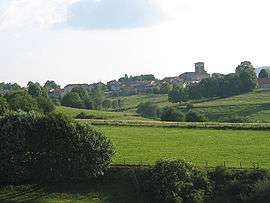
Fayet-Ronaye is a commune in the Puy-de-Dôme department in Auvergne in central France.
The village
See also
References
| Wikimedia Commons has media related to Fayet-Ronaye. |
This article is issued from Wikipedia - version of the 9/10/2016. The text is available under the Creative Commons Attribution/Share Alike but additional terms may apply for the media files.