Farrs Corner, Virginia
| Farrs Corner, Virginia | |
|---|---|
| Unincorporated community | |
 Farrs Corner, Virginia  Farrs Corner, Virginia  Farrs Corner, Virginia | |
| Coordinates: 38°44′32″N 77°20′27″W / 38.74222°N 77.34083°WCoordinates: 38°44′32″N 77°20′27″W / 38.74222°N 77.34083°W | |
| Country | United States |
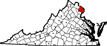
| State | Virginia |
| County | Fairfax |
| Time zone | Eastern (EST) (UTC-5) |
| • Summer (DST) | EDT (UTC-4) |
| Area code(s) | 571 & 703 |
| GNIS feature ID | 1496892[1] |
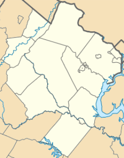
Farrs Corner is an unincorporated community in Fairfax County, in the U.S. state of Virginia.
Located about five miles southeast of the Clifton, Virginia town proper and two miles north of Lake Ridge CDP, it features a Fairfax Station address. It is named after the junction between Virginia State Route 643, when it's called "Henderson Road", and Virginia State Route 610, when it is called Wolf Run Shoals Road.
Nearby neighborhoods include the Bull Subdivision, Ashleigh of Clifton, Crestridge and Stillwell Acres.
References
This article is issued from Wikipedia - version of the 12/1/2016. The text is available under the Creative Commons Attribution/Share Alike but additional terms may apply for the media files.