Everest gasfield
| Everest gasfield | |
|---|---|
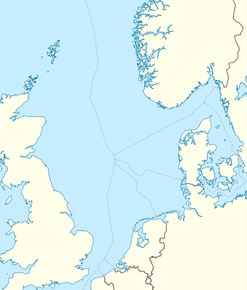 Location of Everest gasfield | |
| Country | Scotland, United Kingdom |
| Region | Central North Sea |
| Blocks | 22/9, 22/10a and 22/14a |
| Offshore/onshore | offshore |
| Coordinates | 57°45′00″N 1°48′04″E / 57.75°N 1.801°ECoordinates: 57°45′00″N 1°48′04″E / 57.75°N 1.801°E |
| Operator | BG Group |
| Partners | BG Group, Amerada Hess, ConocoPhilips, Total |
| Field history | |
| Discovery | 1982 |
| Start of development | 1991 |
| Start of production | 1993 |
| Peak year | 2000 |
| Production | |
| Current production of gas | 130×106 cu ft/d (3.7×10⁶ m3/d) |
| Estimated gas in place | 770×109 cu ft (22×109 m3) |
| Producing formations | Palaeocene Forties sandstone, Paleocene Andrew sandstone |
The Everest gasfield is located in the Central North Sea, 233 kilometres (145 mi) east of Aberdeen, Scotland. It lies in the United Kingdom Continental Shelf blocks 22/9, 22/10a and 22/14a. The gasfield was discovered by Amoco in 1982 with first gas produced in 1993.[1] Until 2009, the field was operated by BP (formerly Amoco). As a result of assets' swap between BP and BG Group in 2009, BG Group became the largest stakeholder of field with 80.46% interest and it took over operatorship of the field.[2] Other partners beside of BG Group are Amerada Hess, and Total. The 1.0134% interest, which was owned by ConocoPhillips, was acquired by BG Group in 2007.[3]
The field is named after George Everest. There is a permanent production installation in the Northern area of the field (located 57°45′00″N 1°48′04″E / 57.75°N 1.801°E: 288 ft (88 m) water depth), containing 11 surface wells and a flowline connecting to two subsea wells in the Southern area. The North Everest platform, built by Highland Fabricators, is also the location for the starting point of the CATS pipeline, which relays gas from Everest and a number of others including Lomond and Armada, to the CATS terminal at Teesside. The North Everest platform is linked with the unmanned CATS riser platform by a 90-metre (300 ft) metal bridge. Condensates and liquids are routed via Forties oilfield.[1]
Everest contains two main reservoirs: the Palaeocene Forties sandstone and the deeper Paleocene Andrew sandstone. The structure is a 3 way dip closure with a stratigraphic pinchout to the east.
References
- 1 2 "The Everest Field" (PDF). BP. Retrieved 2010-06-28.
- ↑ "BG and BP seal stake swaps". Upstream Online. NHST Media Group. 2009-09-01. Retrieved 2010-06-28.
- ↑ "BG and BP seal stake swaps". Upstream Online. NHST Media Group. 2006-12-18. Retrieved 2010-06-28.