Ettersgill
Coordinates: 54°39′50″N 2°10′59″W / 54.664°N 2.183°W
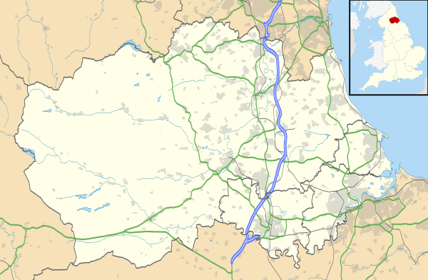
Ettersgill is a village in County Durham, England.[1][2] It is situated at the top of Teesdale, on the north side of the Tees between Newbiggin and Forest-in-Teesdale. Known locally as "Dirt Pit"
References
- ↑ Ordnance Survey: Landranger map sheet 91 Appleby-in-Westmorland (Brough & Kirkby Stephen) (Map). Ordnance Survey. 2014. ISBN 9780319231302.
- ↑ "Ordnance Survey: 1:50,000 Scale Gazetteer" (csv (download)). www.ordnancesurvey.co.uk. Ordnance Survey. 1 January 2016. Retrieved 18 February 2016.
External links
| Wikimedia Commons has media related to Ettersgill. |
This article is issued from Wikipedia - version of the 2/20/2016. The text is available under the Creative Commons Attribution/Share Alike but additional terms may apply for the media files.