Engeløy Airport, Grådussan
| Engeløy Airport, Grådussan Engeløy flyplass, Grådussan | |||||||||||
|---|---|---|---|---|---|---|---|---|---|---|---|
| IATA: none – ICAO: ENEN | |||||||||||
| Summary | |||||||||||
| Location | Engeløya, Steigen Norway | ||||||||||
| Elevation AMSL | 3 m / 10 ft | ||||||||||
| Coordinates | 67°58′02″N 014°59′33″E / 67.96722°N 14.99250°ECoordinates: 67°58′02″N 014°59′33″E / 67.96722°N 14.99250°E | ||||||||||
| Website | engeloyflyplass.no | ||||||||||
| Map | |||||||||||
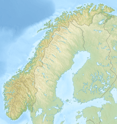 ENEN Location within Norway | |||||||||||
| Runways | |||||||||||
| |||||||||||
|
Reference: ENEN Aerodrome Chart[1] | |||||||||||
Engeløy Airport, Grådussan (Norwegian: Engeløy flyplass, Grådussan) (ICAO: ENEN)[2] is an airport located on the northwest tip of Engeløya, an island in Steigen municipality, Nordland county, Norway.
The airport was built in 2009 and opened in earnest in 2010. It has a grass runway designated 05/23 which measures 600 by 22 metres (1,969 ft × 72 ft).[1] The airport is usable most of the year, but runway conditions must always be checked in advance. Approval from the owners is required before use (PPR).
References
- 1 2 Aerodrome Chart (2010-07-26)
- ↑ "GEN 2.4 Location indicators" (PDF). AIP Norway. Avinor. 2 June 2011.
This article is issued from Wikipedia - version of the 12/4/2016. The text is available under the Creative Commons Attribution/Share Alike but additional terms may apply for the media files.