Endibir
| INDBR | |
|---|---|
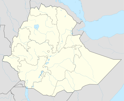 INDBR Location within Ethiopia | |
| Coordinates: 8°7′N 37°56′E / 8.117°N 37.933°ECoordinates: 8°7′N 37°56′E / 8.117°N 37.933°E | |
| Country | Ethiopia |
| Region | Southern Nations, Nationalities and Peoples' |
| Zone | Gurage |
| Elevation | 2,130 m (6,990 ft) |
| Population (2005) | |
| • Total | 4,057 |
| Time zone | EAT (UTC+3) |
| Climate | Cwb |
Indbr is a town in south-western Ethiopia. Located in the Gurage Zone of the Southern Nations, Nationalities and Peoples' Region, this town has a latitude and longitude of 8°7′N 37°56′E / 8.117°N 37.933°E and an elevation between 2130 and 2164 meters above sea level. It is the administrative center of Cheha woreda.
According to the Gurage Zone government, Emdibir is one of 12 towns with electrical power, one of 11 with telephone service and one of nine that have postal service.[1] An all-weather road was built in 1963 by the Gurage Road Association, which connected Emdibir to Addis Ababa through Welkite and Hosaena.[2]
The seat of the Ethiopian Catholic Eparchy of Emdeber is located in this town.
History
In the early 1930s there was a Catholic mission of the Capuchins, usually with a Père and a Frère; they did some medical work and had a school. During the Italian occupation the mission was renamed "Missione della Consolata". The Emdibir market was held every Friday.[3]
In 1984 drought affected almost every household in Emdibir: there was no rain, and the enset in many households was affected by a plant disease known as chire. Although it was insufficient, the community received aid in the form of clothes, maize, milk, butter and oil from the Catholic Relief Service, as well as some of the richer farmers in the area.[2]
Demographics
Based on figures from the Central Statistical Agency in 2005, Emdibir has an estimated total population of 4,057 of whom 1,992 are men and 2,065 are women.[4] The 1994 national census reported this town had a total population of 2,239 of whom 1,103 were men and 1,136 were women.
References
- ↑ Gurage Zone Socio-Economic Profile Gurage Zone Government web page (accessed 5 July 2009)
- 1 2 "Ethiopian Village Studies: Imbdibir", Centre for the Study of African Economies (accessed 5 July 2009)
- ↑ "Local History in Ethiopia" The Nordic Africa Institute website (accessed 5 August 2009)
- ↑ CSA 2005 National Statistics, Table B.4