Ellerbeck Colliery
| Location | |
|---|---|
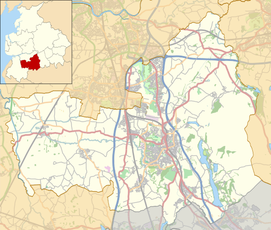 Ellerbeck Colliery Former location in the Borough of Chorley | |
| Location | Chorley, Lancashire |
| Country | England |
| Coordinates | 53°37′08″N 2°37′47″W / 53.6189°N 2.6298°WCoordinates: 53°37′08″N 2°37′47″W / 53.6189°N 2.6298°W |
| Production | |
| Products | Coal |
| Production | 30,000 tons[1] |
| Financial year | 1940 |
| History | |
| Opened | 1876 |
| Closed | 1965 |
Ellerbeck Colliery was a coal mine located on the border of Coppull and Adlington in the Borough of Chorley in Lancashire, England.[2] The Hilton House and Red Moss Coal Company sank the first shaft in 1876 and the colliery closed in 1928.[3]
In 1896 Ellerbeck employed 460 underground workers and 148 on the surface. In 1923 Ellerbeck Nos. 1 & 2 pits had expanded to employ 892 underground workers and 156 on the surface.[4] Ten years later the colliery was owned by the Blackrod Colliery Company and the pit employed 50 underground and 22 surface workers mining the Bone, Wigan Six Feet and New coal seams.[1] The colliery was nationalised in 1947 becoming part of the National Coal Board and was redeveloped employing 411 men in 1958 before finally closing in 1965.[3]
The colliery was served by a branch line of the Lancashire Union Railway, remnants of which including the old bridge foundations on the Leeds-Liverpool Canal are evident today. The branch line was shared with neighbouring Duxbury Park Colliery.
References
- 1 2 Blackrod Colliery Co. Ltd., Durham Mining Museum, retrieved 2011-01-26
- ↑ North Western Division Map 89, The Coalmining History Research Centre, retrieved 2011-02-14
- 1 2 Davies 2010, p. 81
- ↑ Ellerbeck Collieries Ltd., Durham Mining Museum, retrieved 2011-01-26
Bibliography
- Davies, Alan (2010), Coal Mining in Lancashire & Cheshire, Amberley, ISBN 978-1-84868-488-1