Elk Fork (Point Pleasant Creek)
| Elk Fork | |
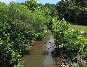 Elk Fork near Polard | |
| Country | United States |
|---|---|
| State | West Virginia |
| County | Tyler |
| Source | |
| - location | northeast of Link |
| - elevation | 1,095 ft (334 m) [1] |
| - coordinates | 39°29′24″N 80°44′10″W / 39.4900809°N 80.7362138°W [2] |
| Mouth | Point Pleasant Creek |
| - location | near Kidwell |
| - elevation | 682 ft (208 m) [2] |
| - coordinates | 39°32′09″N 80°53′06″W / 39.5359109°N 80.8851050°WCoordinates: 39°32′09″N 80°53′06″W / 39.5359109°N 80.8851050°W [2] |
| Length | 14.8 mi (24 km) |
| Basin | 21.1 sq mi (55 km2) |
| Hydrologic Unit Code | 050302010502 (USGS) |
_map.png) A map of the Elk Fork and its watershed | |
The Elk Fork is a tributary of Point Pleasant Creek, 14.8 miles (23.8 km) long,[3] in northwestern West Virginia in the United States. Via Point Pleasant Creek, Middle Island Creek, and the Ohio River, it is part of the watershed of the Mississippi River, draining an area of 21.1 square miles (55 km2)[4] in a rural region on the unglaciated portion of the Allegheny Plateau.
The Elk Fork's entire course and watershed are in Tyler County. It rises approximately 0.7 miles (1.1 km) northeast of Link, and flows generally west-northwestward through the northern part of the county, through the unincorporated communities of Conaway, Iuka, Lonetree, and Polard. It flows into Point Pleasant Creek from the east near the community of Kidwell.[5][6]
See also
References
- ↑ The National Map elevation for GNIS source coordinates. Retrieved 2013-07-17.
- 1 2 3 Geographic Names Information System. "Geographic Names Information System entry for Elk Fork (Feature ID #1551029)". Retrieved 2013-07-17.
- ↑ United States Environmental Protection Agency. "West Virginia, Little Muskingum-Middle Island Watershed". Archived from the original on 2011-10-15. Retrieved 2013-07-17.
- ↑ U.S. Geological Survey. National Hydrography Dataset, area data for Elk Fork watershed, 12-digit Hydrologic Unit Code 050302010502. The National Map, retrieved 2013-07-17
- ↑ The National Map, accessed 2013-07-17
- ↑ West Virginia Atlas & Gazetteer. Yarmouth, Me.: DeLorme. 1997. p. 24. ISBN 0-89933-246-3.
This article is issued from Wikipedia - version of the 9/11/2016. The text is available under the Creative Commons Attribution/Share Alike but additional terms may apply for the media files.