Eilean Bàn, Lochalsh
| Gaelic name | Eilean Bàn |
|---|---|
| Pronunciation | [ˈelan ˈpaːn] |
| Meaning of name | White Island |
 Eilean Bàn from the Skye Bridge, looking towards Kyle of Lochalsh | |
| Location | |
 Eilean Bàn Eilean Bàn shown within Scotland | |
| OS grid reference | NG746271 |
| Physical geography | |
| Island group | Skye |
| Area | 2.4 ha (5.9 acres) |
| Highest elevation | m |
| Administration | |
| Sovereign state | United Kingdom |
| Country | Scotland |
| Council area | Highland |
| Demographics | |
| Population | 0 |
| References | [1][2][3] |
.jpg) View of the lighthouse from Skye bridge | |
| Location |
Eilean Bàn Skye Highland Scotland United Kingdom |
|---|---|
| Coordinates | 57°16′40″N 5°44′33″W / 57.277745°N 5.742434°W |
| Year first constructed | 1857 |
| Deactivated |
1993 maintened as daybeacon |
| Construction | masonry tower |
| Tower shape | cylindrical tower with balcony and lantern |
| Markings / pattern | white tower, black lantern, ochre trim |
| Height | 21 metres (69 ft) |
| ARLHS number | SCO-115 |
| Managing agent | Eilean Bàn Trust[4] |
Eilean Bàn (Scottish Gaelic meaning White Island) is a six acre island[5] off the coast of mainland Scotland, between Kyle of Lochalsh and the Isle of Skye, in Highland. The island supports part of the Skye Bridge, which crosses the mouth of Loch Alsh from the mainland to Skye.
Eilean Bàn was home to John Lister-Kaye, who wrote his book The White Island[6] about his time there, working for Gavin Maxwell.
In 2001 the island had a population of two as recorded by the census[7] but in 2011 there were no "usual residents" living there.[8]
Kyleakin Lighthouse
Kyleakin Lighthouse is situated at the south-western end of Eilean Bàn. It was built by David and Thomas Stevenson in 1857, and is linked to a pair of keepers' houses. The lighthouse was automated and converted to use acetylene gas in 1960. Following the start of construction of the Skye Bridge, the lighthouse was decommissioned in 1993. It is a Category B listed building.[9]
See also
References
- ↑ Haswell-Smith, Hamish (2004). The Scottish Islands. Edinburgh: Canongate. ISBN 978-1-84195-454-7.
- ↑ Ordnance Survey
- ↑ Mac an Tàilleir, Iain (2003) Ainmean-àite/Placenames. (pdf) Pàrlamaid na h-Alba. Retrieved 26 August 2012.
- ↑ Eilean Bàn (Kyleakin) The Lighthouse Directory. University of North Carolina at Chapel Hill. Retrieved 24 May 2016
- ↑ "The Eilean Bàn Trust". Retrieved 2008-04-13.
- ↑ Lister-Kaye, John (1972). The White Island. Longman. ISBN 0-582-10903-5.
- ↑ General Register Office for Scotland (28 November 2003) Scotland's Census 2001 – Occasional Paper No 10: Statistics for Inhabited Islands. Retrieved 26 February 2012.
- ↑ National Records of Scotland (15 August 2013) (pdf) Statistical Bulletin: 2011 Census: First Results on Population and Household Estimates for Scotland - Release 1C (Part Two). "Appendix 2: Population and households on Scotland’s inhabited islands". Retrieved 17 August 2013.
- ↑ "Eilean Ban, Kyleakin Lighthouse". Listed Building Report. Historic Scotland. Retrieved 19 May 2012.
External links
| Wikimedia Commons has media related to Eilean Bàn. |
Coordinates: 57°16′46″N 5°44′21″W / 57.27944°N 5.73917°W
Inhabited islands of the Hebrides | ||
|---|---|---|
| Inner Hebrides | 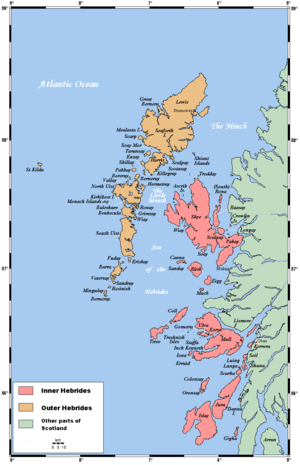 | |
| Outer Hebrides | ||