Egeria, West Virginia
| Egeria, West Virginia | |
|---|---|
| Unincorporated community | |
 Egeria, West Virginia  Egeria, West Virginia | |
| Coordinates: 37°32′21″N 81°12′00″W / 37.53917°N 81.20000°WCoordinates: 37°32′21″N 81°12′00″W / 37.53917°N 81.20000°W | |
| Country | United States |
| State | West Virginia |
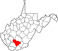
| Counties | Mercer and Raleigh |
| Elevation | 2,972 ft (906 m) |
| Time zone | Eastern (EST) (UTC-5) |
| • Summer (DST) | EDT (UTC-4) |
| Area code(s) | 304 & 681 |
| GNIS feature ID | 1549668[1] |
Egeria is an unincorporated community in Mercer and Raleigh counties, West Virginia, United States. Egeria is 8.5 miles (13.7 km) north-northeast of Matoaka.
References
Municipalities and communities of Mercer County, West Virginia, United States | ||
|---|---|---|
| Cities | 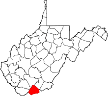 | |
| Towns | ||
| CDPs | ||
| Other communities |
| |
| Ghost town | ||
| Footnotes | ‡This populated place also has portions in an adjacent county or counties | |
This article is issued from Wikipedia - version of the 7/28/2016. The text is available under the Creative Commons Attribution/Share Alike but additional terms may apply for the media files.