Ebini Airport
| Ebini Airport | |||||||||||
|---|---|---|---|---|---|---|---|---|---|---|---|
| IATA: none – ICAO: SYEB | |||||||||||
| Summary | |||||||||||
| Serves | Ebini | ||||||||||
| Elevation AMSL | 147 ft / 45 m | ||||||||||
| Coordinates | 5°34′05″N 57°46′35″W / 5.56806°N 57.77639°WCoordinates: 5°34′05″N 57°46′35″W / 5.56806°N 57.77639°W | ||||||||||
| Map | |||||||||||
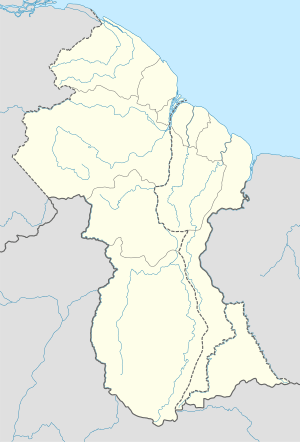 SYEB Location in Guyana | |||||||||||
| Runways | |||||||||||
| |||||||||||
Ebini Airport (IATA: SYEB) is an airport serving the community of Ebini in the Upper Demerara-Berbice Region of Guyana.
See also
 Guyana portal
 Aviation portal
- List of airports in Guyana
- Transport in Guyana
References
External links
- Google Maps - Ebini
- Ebini Airport
- OurAirports - Ebini
- Airport information for SYEB at Great Circle Mapper.
This article is issued from Wikipedia - version of the 7/22/2016. The text is available under the Creative Commons Attribution/Share Alike but additional terms may apply for the media files.