Eayrestown, New Jersey
| Eayrestown, New Jersey | |
|---|---|
| Unincorporated community | |
 | |
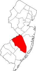
 Eayrestown 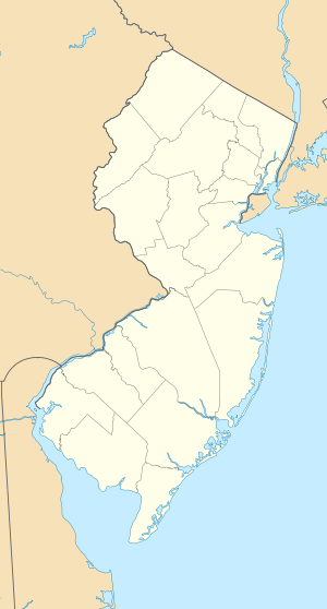 Eayrestown  Eayrestown Location of Eayrestown in Burlington County (Inset: Location of county within the state of New Jersey) | |
| Coordinates: 39°56′42″N 74°47′25″W / 39.94500°N 74.79028°WCoordinates: 39°56′42″N 74°47′25″W / 39.94500°N 74.79028°W | |
| Country |
|
| State |
|
| County | Burlington |
| Township | Lumberton |
| Elevation[1] | 52 ft (16 m) |
| Time zone | Eastern (EST) (UTC-5) |
| • Summer (DST) | EDT (UTC-4) |
| GNIS feature ID | 876080[1] |
Eayrestown is an unincorporated community located within Lumberton Township in Burlington County, New Jersey, United States.[2] The settlement is named for Richard and Elizabeth Eayres, the first settlers of the site in the 1600s. It was also the first settlement in what is now Lumberton Township. The settlement, located along the South Branch Rancocas Creek, was the site of numerous saw and gristmills early in its history and a picnic grove that attracted people from around the area.[3] Today, numerous farms and housing developments dot the area.[4]
References
- 1 2 "Eayrestown". Geographic Names Information System. United States Geological Survey.
- ↑ Locality Search, State of New Jersey. Accessed March 16, 2015.
- ↑ "Our History – Lumberton Township". Lumberton Township. Retrieved August 14, 2016.
- ↑ Google (August 14, 2016). "Aerial view of Eayrestown" (Map). Google Maps. Google. Retrieved August 14, 2016.
This article is issued from Wikipedia - version of the 8/14/2016. The text is available under the Creative Commons Attribution/Share Alike but additional terms may apply for the media files.