East Tytherton

Coordinates: 51°28′23″N 2°03′04″W / 51.473°N 2.051°W
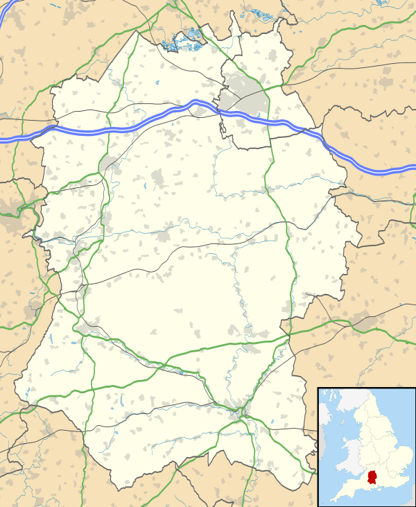
East Tytherton is a hamlet in the civil parish of Bremhill in the ceremonial county of Wiltshire, England. Its nearest town is Chippenham, which lies approximately 2.7 miles (4.3 km) south-west from the hamlet.
Geography
East Tytherton is located on a minor road in a valley some 2.7 miles (4.3 km) northeast of Chippenham and a similar distance northwest of Calne in the civil parish of Bremhill.[1] It has a rectangular village green around which the grey stone manor and the other residences are clustered. One timber-framed house has painted brick walls and a corrugated iron roof.[2]
History
A house at East Tytherton was bought by preacher John Cennick in 1742 and a Moravian community was founded in 1745; a chapel, manse and church cottage were built for the community. The manse and chapel were rebuilt between 1792 and 1793 and a schoolroom was added in 1793-1794.[3] The chapel, manse and former schoolroom are red brick buildings with ashlar dressings and stone slate roofs, and are Grade II* listed.[4] The chapel is a single storey structure with a pair of two-storey houses attached at either end. The manse has a timber bell-cot at the east end.[2] As of 2016, the church is still in use.[5]
The Moravian school was built to house fifty pupils and at one time actually had seventy.[2] The school closed in 1931.[6] Nearby, a British school opened in 1871 and became a County school in the 20th century,[7] later named Maud Heath School. Pupil numbers declined from the 1950s and the school closed at the end of 2005.[8] In 2016 the building was an activity centre for Girl Guides.[9]
References
- ↑ Concise Road Atlas of Britain. AA Publishing. 2016. p. 18. ISBN 978-0-7495-7743-8.
- 1 2 3 "Bremhill". Wiltshire Community History. Wiltshire Council. Retrieved 4 September 2016.
- ↑ "Moravian Church, East Tytherton". Wiltshire Community History. Wiltshire Council. Retrieved 22 February 2016.
- ↑ Historic England. "Moravian Church, Manse and Church Cottage, East Tytherton (1363796)". National Heritage List for England. Retrieved 22 February 2016.
- ↑ "Tytherton Moravian Church". Moravain Church of the British Province. Retrieved 22 February 2016.
- ↑ "Moravian School, East Tytherton". Wiltshire Community History. Wiltshire Council. Retrieved 22 February 2016.
- ↑ "County School, East Tytherton". Wiltshire Community History. Wiltshire Council. Retrieved 22 February 2016.
- ↑ "East Tytherton Maud Heath Primary School". Department for Education. Retrieved 22 February 2016.
- ↑ "Maud Heath Centre". Girlguiding Wiltshire North. Retrieved 22 February 2016.
| Wikimedia Commons has media related to East Tytherton. |