East Kyo
Coordinates: 54°52′08″N 1°43′34″W / 54.869°N 1.726°W
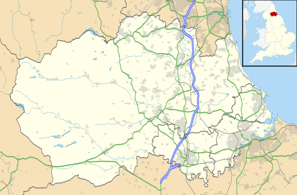
East Kyo is a small hamlet in County Durham, England.[1][2] It is situated a short distance to the west of Stanley, close to Annfield Plain, West Kyo, Oxhill and Harperley. The hamlet of East Kyo consists of two farms and East Kyo House, a former public house.
References
- ↑ Ordnance Survey: Landranger map sheet 88 Newcastle upon Tyne (Durham & Sunderland) (Map). Ordnance Survey. 2012. ISBN 9780319229989.
- ↑ "Ordnance Survey: 1:50,000 Scale Gazetteer" (csv (download)). www.ordnancesurvey.co.uk. Ordnance Survey. 1 January 2016. Retrieved 18 February 2016.
External links
This article is issued from Wikipedia - version of the 2/20/2016. The text is available under the Creative Commons Attribution/Share Alike but additional terms may apply for the media files.