East Island, Papua New Guinea
|
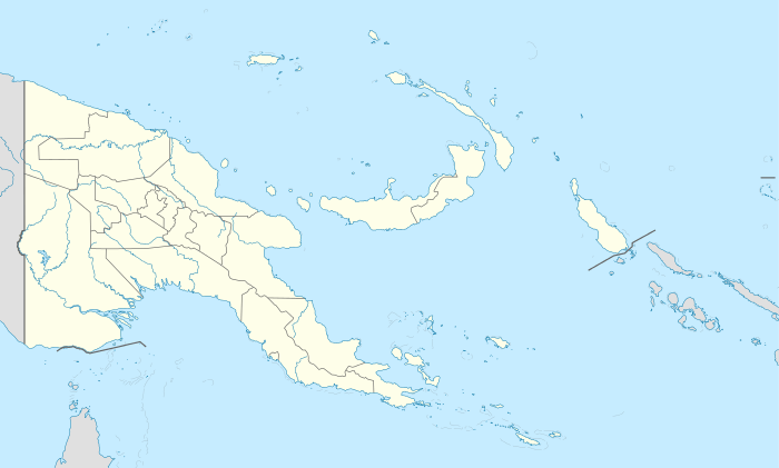
East Island is in the right section | |
 East Island | |
| Geography | |
|---|---|
| Location | Oceania |
| Coordinates | 10°15′48″S 151°52′32″E / 10.26333°S 151.87556°ECoordinates: 10°15′48″S 151°52′32″E / 10.26333°S 151.87556°E[1] |
| Archipelago | Louisiade Archipelago |
| Adjacent bodies of water | Solomon Sea |
| Total islands | 1 |
| Major islands |
|
| Area | 2.93 km2 (1.13 sq mi) |
| Highest elevation | 200 m (700 ft) |
| Highest point | Mount East |
| Administration | |
| Province |
|
| District | Samarai-Murua District |
| LLG [2] | Louisiade Rural Local Level Government Area |
| Island Group | Bonvouloir Islands |
Largest island |
East |
| Demographics | |
| Demonym | Papuan people |
| Population | 0 (2014) |
| Ethnic groups | Papauans, Austronesians, Melanesians. |
| Additional information | |
| Time zone | |
| Official website |
web |
| ISO Code = PG-MBA | |
.jpg)
East Island is an island of Papua New Guinea. It is in the Bonvouloir Islands group of the Louisiade Archipelago.
References
This article is issued from Wikipedia - version of the 11/17/2016. The text is available under the Creative Commons Attribution/Share Alike but additional terms may apply for the media files.