East Brandywine Historic District
|
East Brandywine Historic District | |
|
1500 Walnut, East Brandywine Historic District, January 2010 | |
  | |
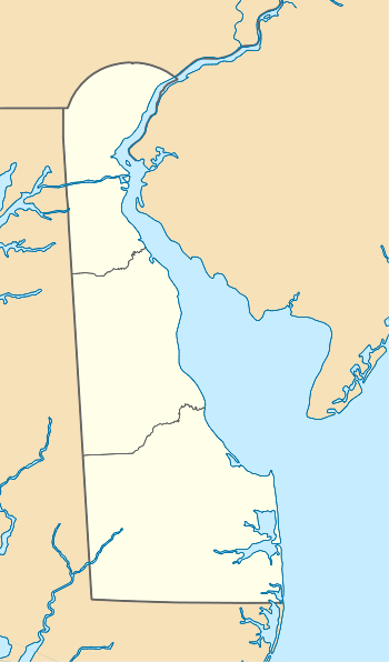
| Location | Roughly Bounded by Sixteenth St., Brandywine Creek, Twelfth St., and US 13, Wilmington, Delaware |
|---|---|
| Coordinates | 39°44′55″N 75°32′31″W / 39.74861°N 75.54194°WCoordinates: 39°44′55″N 75°32′31″W / 39.74861°N 75.54194°W |
| Area | 80.3 acres (32.5 ha) |
| Architectural style | Late Victorian, Georgian |
| NRHP Reference # | 85003220[1] |
| Added to NRHP | December 19, 1985 |
East Brandywine Historic District is a national historic district located at Wilmington, New Castle County, Delaware. It encompasses 189 contributing buildings located east of the central business district of Wilmington dating from the late-18th to the early-20th century. The buildings reflect a mix of architectural types and styles include industrial buildings, churches, schools, semi-detached houses, rowhouses, apartment houses, restaurants, and stores. Notable non-residential buildings include St. Patrick's Church, Diamond Match Company complex, Security Storage Warehouse, Francis Apartments, Winkler's Restaurant, Delaware Hosiery Manufacturing Company building, F.F. Slocomb Company building. The Howard High School, Kaumagraph Building, and Starr House are located in the district and separately listed.[2]
It was added to the National Register of Historic Places in 1985.[1]
References
- 1 2 National Park Service (2010-07-09). "National Register Information System". National Register of Historic Places. National Park Service.
- ↑ Priscilla M. Thompson and Franklyn M. Thompson (May 1985). "National Register of Historic Places Inventory/Nomination: East Brandywine Historic District" (PDF). and Accompanying 28 photos
| Wikimedia Commons has media related to East Brandywine Historic District. |

