Durneva Island
| Durneva Дурнева Dūrnev Araldary | |
|---|---|
| Island | |
|
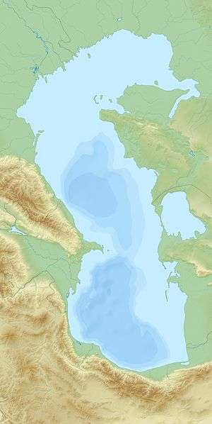
North-East part of the Caspian Sea | |
 Durneva | |
| Coordinates: KZ 45°28′N 52°45′E / 45.467°N 52.750°E | |
| Country | Kazakhstan |
| Region | Mangystau Region |
.jpg)
Durneva Island or Dūrnev Araldary (Russian: Ostrov Durnëva) is a coastal island near the entrance of the Dead Kultuk (former Komsomolets Bay) of the eastern Caspian Sea.[1] It is located north of the Buzachi Peninsula and 41.6 km north of Turum.[2]
Administratively Durneva Island belongs to the Mangystau Region of Kazakhstan.
Cartography
Durneva is probably the island which appears in early maps of the Caspian Sea as Ile des Cygnes (Swan Island). The island was first accurately cartographed only by Fedor Ivanovich Soimonov during the 1719 Caspian Expedition, which surveyed the Caspian Sea from 1719 to 1727.[3]
 1721 Van Verden map of the Caspian Sea with Ostrof Lebeagei or Ile des Cygnes (Swan Island). |
References
- ↑ Geographic data
- ↑ Turum information and distances
- ↑ Igor S. Zonn, Aleksey N Kosarev, Michael H. Glantz & Andrey G. Kostianoy, The Caspian Sea Encyclopedia
External links
|
This article is issued from Wikipedia - version of the 3/2/2016. The text is available under the Creative Commons Attribution/Share Alike but additional terms may apply for the media files.