Dunns Mill, New Jersey
| Dunns Mill, New Jersey | |
|---|---|
| Unincorporated community | |
|
Dunns Mill as seen from CR 545 | |
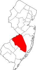
 Dunns Mill 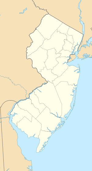 Dunns Mill  Dunns Mill Location of Dunns Mill in Burlington County (Inset: Location of county within the state of New Jersey) | |
| Coordinates: 40°07′45″N 74°41′37″W / 40.12917°N 74.69361°WCoordinates: 40°07′45″N 74°41′37″W / 40.12917°N 74.69361°W | |
| Country |
|
| State |
|
| County | Burlington |
| Township | Bordentown |
| Elevation[1] | 33 ft (10 m) |
| Time zone | Eastern (EST) (UTC-5) |
| • Summer (DST) | EDT (UTC-4) |
| GNIS feature ID | 876016[1] |

Dunns Mill or Dunns Mills is an unincorporated community located within Bordentown Township in Burlington County, New Jersey, United States.[2] The site is named for a gristmill established in 1708 that is located near the settlement along Blacks Creek. Martin Luther Dunn purchased the mill in 1875 but burned down in 1901.[3] The site is presently located near the crossing of the New Jersey Turnpike (Interstate 95) over County Route 545 (Georgetown Road). A mix of housing developments and preserved open space are located around Dunns Mill today.[4]
References
- 1 2 "Dunns Mills". Geographic Names Information System. United States Geological Survey.
- ↑ Locality Search, State of New Jersey. Accessed March 15, 2015.
- ↑ "Environmental Resource Inventory for the Township of Bordentown" (PDF). Delaware Valley Regional Planning Commission. December 2004. p. 9. Retrieved June 20, 2016.
- ↑ Google (June 20, 2016). "Aerial view of Dunns Mill" (Map). Google Maps. Google. Retrieved June 20, 2016.
This article is issued from Wikipedia - version of the 6/21/2016. The text is available under the Creative Commons Attribution/Share Alike but additional terms may apply for the media files.