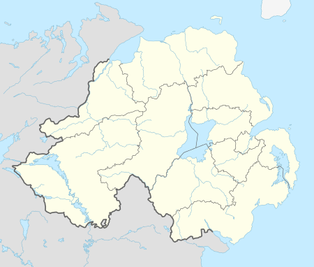
Drumskinny
| Drumskinny | |
 Some of the standing stones at Drumskinny, County Fermanagh, Northern Ireland |
|
 Drumskinny |
|
| Irish grid reference | H1969 |
|---|---|
| District | Fermanagh and Omagh |
| County | County Fermanagh |
| Country | Northern Ireland |
| Sovereign state | United Kingdom |
| Postcode district | BT |
| Dialling code | 028, +44 28 |
| EU Parliament | Northern Ireland |
| UK Parliament | Fermanagh and South Tyrone |
| NI Assembly | Fermanagh and South Tyrone |
|
|
Coordinates: 54°34′03″N 7°42′32″W / 54.5674°N 7.7088°W
Drumskinny (from Irish Droim Scine, meaning "ridge of the knife/edge"[1]) is the site of a stone circle in the townland of Drumskinny, County Fermanagh, Northern Ireland. With the inclusion of an adjacent cairn and alignment, the stone circle is a State Care Historic Monument in Fermanagh and Omagh district, at grid ref: H 2009 7072.[2][3] The site was excavated in 1962[4] and is believed to have built around 2000 BC.[5]
There are also two other townlands in Northern Ireland called Drumskinny: in the civil parish of Clonfeacle in County Tyrone; and in the civil parish of Dromore also in County Tyrone.
See also
External links
References
| Wikimedia Commons has media related to Drumskinny. |
- ↑ Place Names NI
- ↑ "Drumskinny" (PDF). Environment and Heritage Service NI - State care Historic Monuments. Retrieved 2007-12-03.
- ↑ "Drumskinny". The Megalithic Portal. Retrieved 2007-12-02.
- ↑ "Drumskinny Stone Circle". Irish Antiquities. Retrieved 2010-10-06.
- ↑ "Drumskinny Stone Circle". Triskelle. Retrieved 2007-12-02.
This article is issued from Wikipedia - version of the 6/29/2016. The text is available under the Creative Commons Attribution/Share Alike but additional terms may apply for the media files.