Drope

Coordinates: 51°28′29″N 3°17′11″W / 51.474722°N 3.286389°W
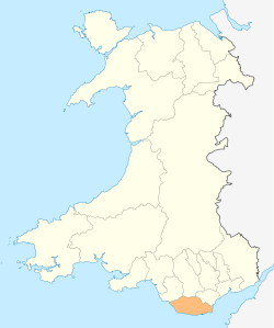
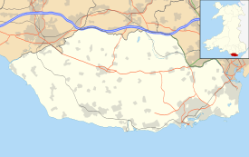
Drope is a hamlet in the valley of the River Ely in Vale of Glamorgan, southeast Wales, just beyond the territorial border of western Cardiff. It lies immediately east from Michaelston-super-Ely, west of Ely, Cardiff and southeast of St Georges-super Ely and is accessed via a bridge along Drope Road across the A4232 road to the north of Culverhouse Cross. Drope was designated a special conservation area in March 1973 by the former Glamorgan County Council due to its architectural heritage.[1]
Landmarks
The farms of Drope, Ty Llwyd and Ty Uchaf and The Old Rectory in Drope have been identified as buildings which make a positive contribution to the special architectural or historic interest of the conservation area. [1]The Old Rectory dates to the early Victorian period and set in landscaped gardens, it features a slate roof under local limestone walls.[1]To the south is Coedarhydyglyn.

References
- 1 2 3 "Appraisal and Management Plan". Vale of Glamorgan County Council. Retrieved 28 June 2011.