Drinkstone

Signpost in Drinkstone

All Saints Church, Drinkstone
| Drinkstone | |
 Drinkstone |
|
| Population | 548 (2011)[1] |
|---|---|
| OS grid reference | TL9561 |
| District | Mid Suffolk |
| Shire county | Suffolk |
| Region | East |
| Country | England |
| Sovereign state | United Kingdom |
| Post town | Bury St. Edmunds |
| Postcode district | IP30 |
| Dialling code | 01449 |
| Police | Suffolk |
| Fire | Suffolk |
| Ambulance | East of England |
| EU Parliament | East of England |
Coordinates: 52°13′N 0°51′E / 52.21°N 00.85°E
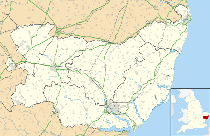
Drinkstone is a small settlement and civil parish in Suffolk, England. It is near the A14 road and is 6 miles (10 km) southeast of the town of Bury St Edmunds. It is one of the oldest villages in England, as mentioned in the Domesday Book,1086
All Saint's Church dates from the 14th century. The tower was added c.1760 and the church restored in 1866-72. It is a grade II* listed building.[2]
Drinkstone windmills are a pair of windmills in the parish consisting of a post mill and a smock mill.
References
- ↑ "Civil Parish population 2011". Neighbourhood Statistics. Office for National Statistics. Retrieved 20 August 2016.
- ↑ "Name: CHURCH OF ALL SAINTS List entry Number: 1352345". English Heritage. Retrieved 11 April 2014.
External links
![]() Media related to Drinkstone at Wikimedia Commons
Media related to Drinkstone at Wikimedia Commons
| Boroughs or districts | |
|---|---|
| Major settlements | |
| Topics | |
This article is issued from Wikipedia - version of the 8/20/2016. The text is available under the Creative Commons Attribution/Share Alike but additional terms may apply for the media files.