Drežnička Gradina
| Drežnička Gradina | |
|---|---|
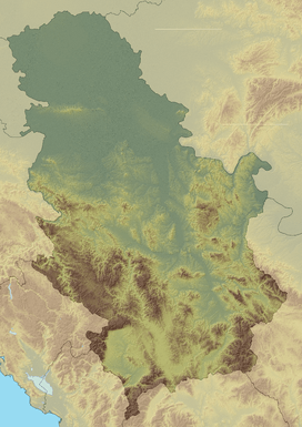 Drežnička Gradina Location in Serbia | |
| Highest point | |
| Elevation | 932 m (3,058 ft) [1] |
| Coordinates | 43°47′02″N 19°56′14″E / 43.783889°N 19.937222°ECoordinates: 43°47′02″N 19°56′14″E / 43.783889°N 19.937222°E |
| Geography | |
| Location | Serbia |
Drežnička Gradina (Serbian Cyrillic: Дрежничка Градина) is a mountain in western Serbia, between cities of Požega and Užice. Its highest peak, Gradina, has an elevation of 932 m (3,058 ft) above sea level. On the cone-shaped hilltop, there is a small stone-built pyramid erected as monument to Yugoslav Partisans died in a battle against German forces in August 1941, at the time of the Republic of Užice.[2]
A prominent feature on the mountain is the cave Potpećka pećina (43°47′44″N 19°55′59″E / 43.79556°N 19.93306°E), located near the village of Potpeće. Its main entrance, 72 m tall, is the largest of all caves on the Balkans. Apart from the main, upper entrance for tourists, there is a smaller, lower entrance into an underground lake, which overflows in rainy seasons, creating an intermittent water flow called Petnica, flowing into Đetinja river. The upper hall has lightened tourist trail, 555 m long, reachable by a staircase of over 700 stairs. The hall with stalactites and stalagmites is still geologically active, and is protected from outer atmosphere by an iron gate.[3][4]
References
- ↑ Drežnička Gradina (in Serbian), Staze i Bogaze
- ↑ Radoslav Poznanović, Istorijski i kulturni spomenici (1945-1975) (PDF), City of Užice
- ↑ Potpećka Pećina
- ↑ Ivana Kladarin Panić (2010-06-22), Potpećka pećina, podzemni biser Srbije, JAT Revija/B92
External links
- Potpećka pećina, web site dedicated to the cave (Serbian)