Dongxihu District
| Dongxihu 东西湖区 | ||||||||||||||||||||||||||||||||||||
|---|---|---|---|---|---|---|---|---|---|---|---|---|---|---|---|---|---|---|---|---|---|---|---|---|---|---|---|---|---|---|---|---|---|---|---|---|
| District | ||||||||||||||||||||||||||||||||||||
 Dongxihu Location in Hubei | ||||||||||||||||||||||||||||||||||||
| Coordinates: 30°37′27″N 114°08′45″E / 30.6241°N 114.1458°ECoordinates: 30°37′27″N 114°08′45″E / 30.6241°N 114.1458°E[1] | ||||||||||||||||||||||||||||||||||||
| Country | People's Republic of China | |||||||||||||||||||||||||||||||||||
| Province | Hubei | |||||||||||||||||||||||||||||||||||
| Sub-provincial city | Wuhan | |||||||||||||||||||||||||||||||||||
| Area[2] | ||||||||||||||||||||||||||||||||||||
| • Total | 439.19 km2 (169.57 sq mi) | |||||||||||||||||||||||||||||||||||
| Population (2010)[3] | ||||||||||||||||||||||||||||||||||||
| • Total | 451,880 | |||||||||||||||||||||||||||||||||||
| • Density | 1,029/km2 (2,670/sq mi) | |||||||||||||||||||||||||||||||||||
| Time zone | China Standard (UTC+8) | |||||||||||||||||||||||||||||||||||
| Wuhan district map |
| |||||||||||||||||||||||||||||||||||
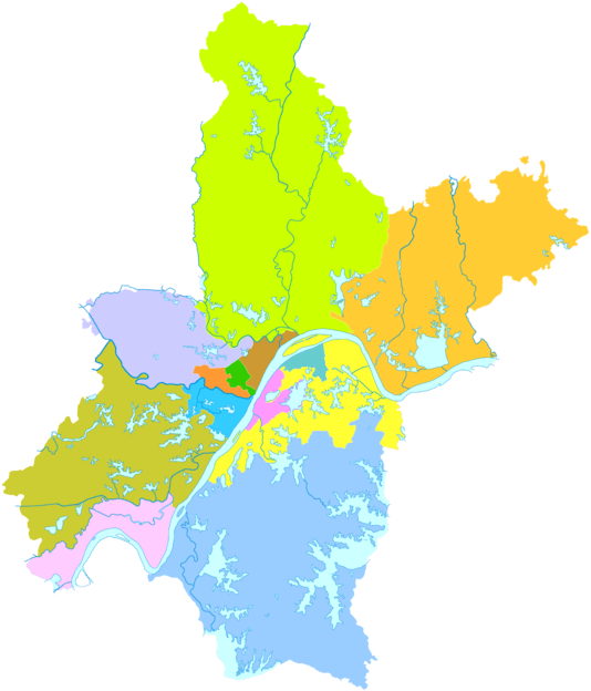
Dongxihu District (simplified Chinese: 东西湖区; traditional Chinese: 東西湖區; pinyin: Dōngxīhú qū; literally: "east west lake") is one of 13 districts of Wuhan, the capital of Hubei province, People's Republic of China, forming part of the city's western suburbs. It lies on the north (left) bank of the Han River. Along with Qiaokou, it is the only district of Wuhan to not have a Yangtze River shoreline; it borders the districts of Huangpi to the northeast, Jiang'an to the east, Jianghan, Qiaokou, and Hanyang to the southeast, and Caidian to the southwest. The district also borders the prefecture-level city of Xiaogan to the north and west.
References
- ↑ Google (2014-07-02). "Dongxihu" (Map). Google Maps. Google. Retrieved 2014-07-02.
- ↑ "Wuhan Statistical Yearbook 2010" (PDF). Wuhan Statistics Bureau. p. 15. Archived from the original (PDF) on November 5, 2011. Retrieved 2011-07-31.
- ↑ "武汉市2010年第六次全国人口普查主要数据公报" (in Chinese). Wuhan Statistics Bureau. 2011-05-11. Archived from the original on 2011-10-25. Retrieved 2011-06-11.
External links
This article is issued from Wikipedia - version of the 10/14/2016. The text is available under the Creative Commons Attribution/Share Alike but additional terms may apply for the media files.