Doi Suthep
| Doi Suthep | |
|---|---|
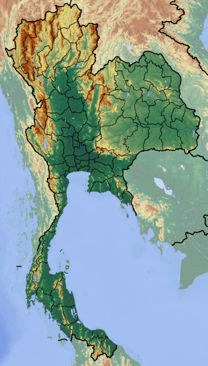 Doi Suthep Location in Thailand | |
| Highest point | |
| Elevation | 1,676 m (5,499 ft) |
| Listing | Buddhist temples on mountaintops in Thailand |
| Coordinates | 18°48′46″N 98°53′37″E / 18.81278°N 98.89361°ECoordinates: 18°48′46″N 98°53′37″E / 18.81278°N 98.89361°E |
| Geography | |
| Location | Chiang Mai (Thailand) |
| Parent range | Shan Hills |
| Geology | |
| Mountain type | granite |
| Climbing | |
| Easiest route | drive |
Doi Suthep (ดอยสุเทพ), is a mountain ("doi") west of Chiang Mai, Thailand. It is 1,676 metres (5,499 ft) in elevation and is one of the twin peaks of a granite mountain. The other peak is known as Doi Pui and is slightly higher (1,685 m).

Doi Suthep is 15 kilometres (9.3 mi) from Chiang Mai city centre. The vegetation below 1,000 m is mostly deciduous forest, with evergreen forest above this elevation.
The Doi Suthep - Doi Pui hill is part of the Thanon Thong Chai Range, the southernmost subrange of the Shan Highland system.[1] Other high peaks of the same range are Doi Luang Chiang Dao (2,175 m), Doi Pui (1,685 m), and Doi Inthanon, the highest point in Thailand, at 2,565 m.[2]


The temple Wat Phrathat Doi Suthep is on top of a hill (around 1,060 m) forming Doi Suthep. This Buddhist place of worship dates back to the 13th century.[3] It is an important venue for the devout and a legend featuring a white elephant is connected to this revered site. There are views of Chiang Mai city and its surroundings from the top of this mountain.
This mountain is part of the Doi Suthep-Pui National Park.[4] The park was established in 1981 and has an area of 261 square kilometres (101 sq mi) that includes the Wat Phrathat Doi Suthep temple as well as Bhubing Rjanives Palace, further up the mountain.[5]
Doi Pui, the other peak of the massif, is close by via a surfaced road as well as through forest paths. Hmong hill tribe people live in the surrounding area.
References
- ↑ The Physical Geography of Southeast Asia, Avijit Gupta, Oxford University Press, 2005. ISBN 978-0-19-924802-5
- ↑ Wolf Donner, The Five Faces of Thailand. Institute of Asian Affairs, Hamburg 1978 - ISBN 0-7022-1665-8
- ↑ "Wat Phra That Doi Suthep". Tourism Authority of Thailand (TAT). Retrieved 25 Apr 2015.
- ↑ "Doi Suthep-Pui National Park". Tourism Authority of Thailand (TAT). Retrieved 25 Apr 2015.
- ↑ "Bhubing Rajanives Palace". Tourist Authority of Thailand (TAT). Retrieved 25 Apr 2015.
External links
| Wikimedia Commons has media related to Doi Suthep. |