Dhobitalao
| Dhobitalao | |
|---|---|
| neighbourhood | |
|
Parsi Hospital at Dhobitalao | |
 Dhobitalao | |
| Coordinates: 18°56′36″N 72°49′43″E / 18.9433°N 72.8286°ECoordinates: 18°56′36″N 72°49′43″E / 18.9433°N 72.8286°E | |
| Country | India |
| State | Maharashtra |
| District | Mumbai City |
| Metro | Mumbai |
| Zone | 1 |
| Ward | A and C |
| Government | |
| • Body | MCGM |
| Elevation | 11 m (36 ft) |
| Languages | |
| • Official | Marathi |
| Time zone | IST (UTC+5:30) |
| PIN | 400 002 |
| Lok Sabha constituency | Mumbai South |
| Vidhan Sabha constituency | Mumbadevi |
| Civic agency | MCGM |

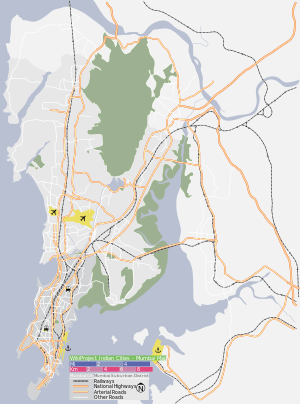
Dhobitalao (धोबीतलाव, "Washerman's Lake") is a neighborhood in the city of Mumbai (formerly Bombay) in India. Located in the South Mumbai area at an elevation of 11 m (31 ft), it used to be a location where linen was washed. In British times, dhobis used to wash the British soldiers clothes' here. It was filled up in the mid-17th century as the city began to expand. The lake used to be fed by a number of underground freshwater springs, which were recently uncovered while constructing the subway in the locality.
A public library stands over the land that was the lake. Just off the current site, is the famous Metro Adlabs (formerly Metro Cinema).

The north-eastern part of Dhobitalao is called Cavel, from the Koli name Kolwar. The Kolis of this village were converted to Christianity by the Portuguese in the 16th century. Cavel became a Christian enclave, and later immigrants of this religion, from Goa, Daman, Bassein and Salsette settled here.
Institutions
- Metro Adlabs
- St Xavier's College
- St. Xavier's High School, Fort
- GT Hospital
- ESIS Hospital