Desouk
Coordinates: 31°8′32″N 30°38′42″E / 31.14222°N 30.64500°E
| Desouk دسوق | |
|---|---|
|
Clockwise, from top: Desouk Bridge, Ibrahim El Desouki Mosque, City Hall, Nile in Desouk, a statue of Ramesses II with Goddess Sekhmet, Desouk War Memorial, New Desouk Bridge. | |
 Map of Desouk | |
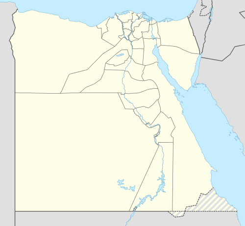 Desouk Location in Egypt | |
| Coordinates: 31°8′32″N 30°38′42″E / 31.14222°N 30.64500°E | |
| Country |
|
| Governorate | Kafr El Sheikh |
| Population (2011) | |
| • Total | 137,660 |
| Time zone | EST (UTC+2) |
| ZIP code | 33611 – 33612[1][2] |
| Area code(s) | +2 047 |

Desouk (Arabic: دسوق Dosūq, Egyptian Arabic pronunciation: [dɪˈsuːʔ]) is a city in northern Egypt. Located 80 km east of Alexandria, in the Kafr El Sheikh Governorate and had a population of 137,660 inhabitants as of 2011.[3] It is bordered to the west by the Beheira Governorate.
Desouk dates back to at least c. 3200 BC, the area was part of the ancient city of Buto before the unification of Upper and Lower Egypt. From 1250 to 1517 the city of Desouk was part of the Gharbia province. From 1798 to 1801 it was part of the now defunct Rosetta province.
Overview
Desouk is a member of the Organization of Islamic Capitals and Cities,[4] due to the location of important Islamic shrines in the city, such as the tomb of Saint Ibrahim El Desouki (13th century), which is located in the main mosque in the center of Desouk.
Desouk lies on the Nile, on the eastern banks of the Rosetta branch, where there are only two bridges entering the city.
Many important Egyptians hail from Desouk: Youssef El-Mansy, Ahmed Zewail,[5] Mohammed Roshdy, Evelyn Ashamallah, and Abdel-Salam Mohammed Nasar, a famous politician in the city.
-English.JPG)
Climate
Köppen-Geiger climate classification system classifies its climate as hot desert (BWh), the same as the rest of Egypt.
| Climate data for Desouk | |||||||||||||
|---|---|---|---|---|---|---|---|---|---|---|---|---|---|
| Month | Jan | Feb | Mar | Apr | May | Jun | Jul | Aug | Sep | Oct | Nov | Dec | Year |
| Average high °C (°F) | 17.8 (64) |
18.8 (65.8) |
21.5 (70.7) |
25.3 (77.5) |
29.2 (84.6) |
30.9 (87.6) |
32.2 (90) |
32.3 (90.1) |
30.6 (87.1) |
28.8 (83.8) |
24.6 (76.3) |
19.9 (67.8) |
25.99 (78.77) |
| Daily mean °C (°F) | 12.4 (54.3) |
13.1 (55.6) |
15.4 (59.7) |
18.6 (65.5) |
22.3 (72.1) |
24.6 (76.3) |
26.1 (79) |
26.2 (79.2) |
24.7 (76.5) |
22.8 (73) |
19.1 (66.4) |
14.5 (58.1) |
19.98 (67.98) |
| Average low °C (°F) | 7 (45) |
7.4 (45.3) |
9.3 (48.7) |
11.9 (53.4) |
15.4 (59.7) |
18.4 (65.1) |
20.1 (68.2) |
20.2 (68.4) |
18.8 (65.8) |
16.8 (62.2) |
13.6 (56.5) |
9.1 (48.4) |
14 (57.23) |
| Average precipitation mm (inches) | 26 (1.02) |
20 (0.79) |
9 (0.35) |
4 (0.16) |
3 (0.12) |
0 (0) |
0 (0) |
0 (0) |
0 (0) |
6 (0.24) |
13 (0.51) |
23 (0.91) |
104 (4.1) |
| Source: Climate-Data.org[6] | |||||||||||||
See also
References
- ↑ "ZIP code, Desouk (1)". Epcodes.com. Retrieved 2010-12-28.
- ↑ "ZIP code, Desouk (2)". Epcodes.com. Retrieved 2010-12-28.
- ↑ "Presidency of Desouk City, Administrative division & Population (2011)". Epcodes.com. 2009-12-31. Retrieved 2010-12-29.
- ↑ "Organization of Islamic Capitals and Cities, Membership". http://www.oicc.org. Retrieved 2010-12-29. External link in
|publisher=(help) - ↑ "Egyptian figures, Ahmed H. Zewail". sis.gov.eg. Retrieved 2010-12-28.
- ↑ "Climate: Disuq - Climate graph, Temperature graph, Climate table". Climate-Data.org. Retrieved 14 August 2013.
External links
| Wikimedia Commons has media related to Desouk. |
- The official site of Presidency of Desouk City (Arabic)
- The official site of Kafr el-Sheikh Governorate (Arabic, English)