Danyor
| Danyore | |
|---|---|
| Village | |
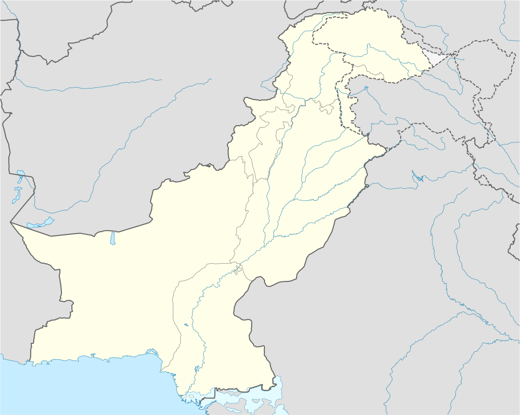 Danyore Location in Pakistan | |
| Coordinates: 35°55′10″N 74°23′20″E / 35.91944°N 74.38889°ECoordinates: 35°55′10″N 74°23′20″E / 35.91944°N 74.38889°E | |
| Country |
|
| Province | Gilgit-Baltistan |
| District | Gilgit |
| Population [1] | |
| • Total | 25,000 |
| Time zone | PST (UTC+5:30) |
| • Summer (DST) | +5 (UTC) |
| Postal code | 15110 |
Danyor (Urdu, Burushiski, Shina: دنیور) is a village in the namesake Tehsil in the district Gilgit lies across the river Gilgit in the outskirts of the regional Capital of Gilgit-Baltistan. Danyore is famous for its green fields, and poplar trees. The world's highest paved road KKH passes through the beautiful landscape of the village.[1]
Important Places
The Shrine of Shah Sultan Alif above the Danyore tunnel,[2] the Chinese Graveyard near the Karakoram Highway and the rock inscriptions in the Chikas locality are the widely visited tourist attractions.[3] The Danyor Suspension Bridge, which was constructed over a half century ago, is quite a wonder; it connects the KIU Campus to the village. The Danyor end of the bridge enters a tunnel constructed by locals without any proper civil engineering equipments some 5 decades ago.[4][5] [6]
See also
References
- 1 2 "The Impact of Micro Finance on the Household Income and Consumption level in Danyore, Gilgit-Baltistan" (PDF). Nadeem Akhtar Khan. Retrieved August 2014. Check date values in:
|access-date=(help) - ↑ Concrete social change will benefit Gilgit-Baltistan
- ↑ Pakistan’s mountain farmers ‘helpless’ in face of erratic weather
- ↑ Concrete social change will benefit Gilgit-Baltistan-I
- ↑ Danyore Suspension Bridge and Tunnel It connects Gilgit City the region of District
- ↑ Declared unsafe: Danyore Bridge closed to traffic