Dangriga Airport
| Dangriga Airport | |||||||||||
|---|---|---|---|---|---|---|---|---|---|---|---|
| IATA: DGA – ICAO: none | |||||||||||
| Summary | |||||||||||
| Airport type | Public | ||||||||||
| Serves | Dangriga | ||||||||||
| Location |
| ||||||||||
| Elevation AMSL | 508 ft / 155 m | ||||||||||
| Coordinates | 16°58′56.6″N 088°13′51.6″W / 16.982389°N 88.231000°WCoordinates: 16°58′56.6″N 088°13′51.6″W / 16.982389°N 88.231000°W | ||||||||||
| Map | |||||||||||
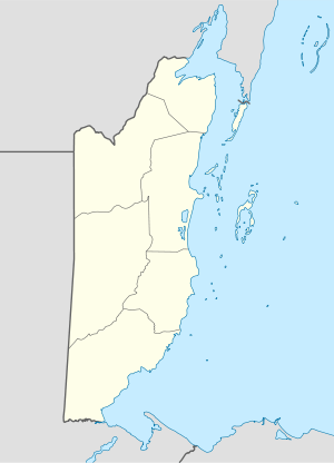 DGA Location of Dangriga Airport in Belize | |||||||||||
| Runways | |||||||||||
| |||||||||||
Dangriga Airport (IATA: DGA) is a public use airport located 1 kilometre (1 mi) north of Dangriga, Stann Creek District, Belize.
See also
References
- ↑ Airport record for Dangriga Airport at Landings.com. Retrieved 2013-09-02
- ↑ Google (2013-09-02). "location of Dangriga Airport" (Map). Google Maps. Google. Retrieved 2013-09-02.
External links
- Airport record for Dangriga Airport at Landings.com
| Wikimedia Commons has media related to Dangriga Airport. |
This article is issued from Wikipedia - version of the 11/8/2016. The text is available under the Creative Commons Attribution/Share Alike but additional terms may apply for the media files.