Dagua
| Dagua | |||
|---|---|---|---|
| Municipality and town | |||
| |||
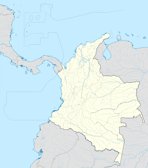
 Location of the municipality and town of Dagua in the Valle del Cauca Department of Colombia. | |||
 Dagua Location in Colombia | |||
| Coordinates: 3°40′N 76°42′W / 3.667°N 76.700°W | |||
| Country |
| ||
| Department | Valle del Cauca Department | ||
| Area | |||
| • Total | 886 km2 (342 sq mi) | ||
| Time zone | Colombia Standard Time (UTC-5) | ||
| Climate | Am | ||
.svg.png)

Dagua (Spanish pronunciation: [ˈdaɣwa]) is a town and municipality located in the Department of Valle del Cauca, Colombia.
History
Dagua was founded in 1909.
Corregimientos
1. Santa María
2. El Salado
3. El Chilcal
4. Providencia
5. El Danubio
6. La Cascada
7. La Elsa
8. El Queremal
9. El Limonar
10. Los Alpes
11. La Providencia
12. Atuncela
13. Loboguerrero
14. El Naranjo
15. Juntas
16. Zabaletas
17. El Piñal
18. Zelandia
19. El Rucio
20. Pepitas
21. Villahermosa
22. El Palmar
23. Borrero Ayerbe
24. El Carmen
25. San Bernardo
26. Jiguales
27. Kilómetro 18
29. San Vicente
30. Cisneros.
31. La Clorinda
Coordinates: 3°40′N 76°42′W / 3.667°N 76.700°W
This article is issued from Wikipedia - version of the 3/17/2015. The text is available under the Creative Commons Attribution/Share Alike but additional terms may apply for the media files.