Cuerden
| Cuerden | |
 Cuerden Hall |
|
 Cuerden |
|
| Population | 77 (2001) |
|---|---|
| OS grid reference | SD565235 |
| Civil parish | Cuerden |
| District | Chorley |
| Shire county | Lancashire |
| Region | North West |
| Country | England |
| Sovereign state | United Kingdom |
| Post town | PRESTON |
| Postcode district | PR5 |
| Post town | LEYLAND |
| Postcode district | PR25 |
| Dialling code | 01772 |
| Police | Lancashire |
| Fire | Lancashire |
| Ambulance | North West |
| EU Parliament | North West England |
| UK Parliament | Chorley |
|
|
Coordinates: 53°42′22″N 2°39′36″W / 53.706°N 2.660°W
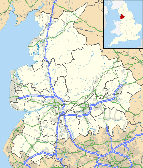
Cuerden is a village and civil parish of the Borough of Chorley, in Lancashire, England. It is situated between Bamber Bridge and Leyland, and had a population of 77 in 2001.[1]
History
The name speculatively derives from the Welsh cerdin, the plural of cerdinen, "rowan", although the nearby Cuerdale derives from an Anglo-Saxon personal name. It could also be a derivation of 'coeur de lion' or Lionheart.
The manor was given to Vivian Molyneux by Roger de Poitou and devolved to the Banastres, Charnocks, Langtons, and Fleetwoods.[2] The manor house, Cuerden Hall, is a country house begun in the 1717 on the site of a 17th-century house, and extended between 1816-19 by Lewis Wyatt.
During the Industrial Revolution two cotton mills were built by the river by William Clayton and William Eccles and employed more than 700 persons in 1848.[2]
St Saviour's Church was built in 1836–37 to a design by the architect Edmund Sharpe.
Governance
Cuerden was a township in the ancient ecclesiastical parish of Leyland and the Leyland hundred.[2] It became part of the Chorley Poor Law Union, formed in 1837, which took responsibility for the administration and funding of the Poor Law and built a workhouse in that area.[3]
Geography
Cuerden coved 800 acres about 4½ miles south east of Preston on the River Lostock on the road between Preston and Wigan.[2][4] Cuerden Valley Park, south of the M6 and M65 junction, covers 650 acres, half of which is used for agriculture. The park has a lake and was once the estate of Cuerden Hall.
See also
References
- ↑ Office for National Statistics : Census 2001 : Parish Headcounts : Chorley Retrieved 6 February 2010
- 1 2 3 4 Lewis, Samuel (1848), "Cuerden", A Topographical Dictionary of England, British History Online, pp. 746–751, retrieved 2011-04-30
- ↑ Workhouse, Workhouses.org, archived from the original on 5 June 2011, retrieved 2011-04-30
- ↑ Cuerden Township Boundaries, GenUKI, retrieved 2011-05-01
External links
| Wikimedia Commons has media related to Cuerden. |
- Cuerden chorley.gov.uk.