Crumley Chapel, Alabama
| Crumley Chapel, Alabama | |
|---|---|
| Unincorporated community | |
 Crumley Chapel, Alabama  Crumley Chapel, Alabama | |
| Coordinates: 33°34′14″N 86°54′46″W / 33.57056°N 86.91278°WCoordinates: 33°34′14″N 86°54′46″W / 33.57056°N 86.91278°W | |
| Country | United States |
| State | Alabama |
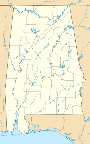
| County | Jefferson |
| Elevation | 604 ft (184 m) |
| Time zone | Central (CST) (UTC-6) |
| • Summer (DST) | CDT (UTC-5) |
| Area code(s) | 205 |
| GNIS feature ID | 116930[1] |
Crumley Chapel, also known as Crumleys Chapel or Oakwood, is an unincorporated community in Jefferson County, Alabama northwest of Birmingham. The area was first settled in early 1840. The community’s name originated from a local church and cemetery, which were named after Robert Crumley, an early farmer of the area.[2]
Crumley Chapel Methodist Church was founded in 1859. The Crumley Chapel Cemetery was founded in 1858 and dedicated to Oliver Shoemaker and his wife. Shoemaker donated the land for the cemetery.[3]
References
- ↑ "Crumley Chapel". Geographic Names Information System. United States Geological Survey.
- ↑ "Community Histories & Stories". Hueytown Historical Society. Retrieved 7 July 2015.
- ↑ "Crumley Chapel Methodist Church Cemetery" (PDF). City of Hueytown, Alabama. Retrieved 6 July 2015.
Municipalities and communities of Jefferson County, Alabama, United States | ||
|---|---|---|
| Cities | 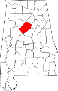 | |
| Towns | ||
| CDPs | ||
| Unincorporated communities | ||
| Former towns | ||
| Footnotes | ‡This populated place also has portions in an adjacent county or counties | |
This article is issued from Wikipedia - version of the 7/31/2016. The text is available under the Creative Commons Attribution/Share Alike but additional terms may apply for the media files.