Contrexéville
| Contrexéville | ||
|---|---|---|
 | ||
| ||
 Contrexéville | ||
|
Location within Grand Est region  Contrexéville | ||
| Coordinates: 48°11′06″N 5°53′46″E / 48.185°N 5.896°ECoordinates: 48°11′06″N 5°53′46″E / 48.185°N 5.896°E | ||
| Country | France | |
| Region | Grand Est | |
| Department | Vosges | |
| Arrondissement | Neufchâteau | |
| Canton | Vittel | |
| Government | ||
| • Mayor (2008–2014) | Arnauld Salvini | |
| Area1 | 14.96 km2 (5.78 sq mi) | |
| Population (2006)2 | 3,731 | |
| • Density | 250/km2 (650/sq mi) | |
| Time zone | CET (UTC+1) | |
| • Summer (DST) | CEST (UTC+2) | |
| INSEE/Postal code | 88114 / 88140 | |
| Elevation |
324–442 m (1,063–1,450 ft) (avg. 344 m or 1,129 ft) | |
|
1 French Land Register data, which excludes lakes, ponds, glaciers > 1 km² (0.386 sq mi or 247 acres) and river estuaries. 2 Population without double counting: residents of multiple communes (e.g., students and military personnel) only counted once. | ||

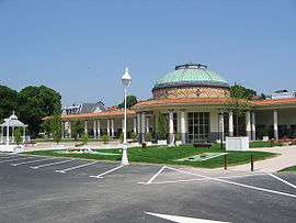
Place des fontaines in Contrexéville
Contrexéville is a commune of north-eastern France, in the Vosges département. Inhabitants are called Contrexévillois.
The reputation of Contrexéville as a health resort dates from 1864, when development began by a company, the Société des Eaux de Contrexéville.[1]
Main sights
Twin towns
Contrexéville is twinned with:
-
 Bad Rappenau, Germany
 -
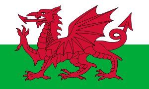 Llandrindod Wells, Wales
 -
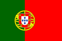 Luso, Portugal
 - Mealhada, Portugal
See also
Notes
- ↑ Chisholm 1911, p. 45.
References
- INSEE
-
 Chisholm, Hugh, ed. (1911). "Contrexéville". Encyclopædia Britannica. 7 (11th ed.). Cambridge University Press.
External links
| Wikimedia Commons has media related to Contrexéville. |
This article is issued from Wikipedia - version of the 5/18/2016. The text is available under the Creative Commons Attribution/Share Alike but additional terms may apply for the media files.