Coimbra Airport
| Coimbra Airport Aeródromo Municipal Bissaya Barreto | |||||||||||
|---|---|---|---|---|---|---|---|---|---|---|---|
| IATA: CBP – ICAO: LPCO | |||||||||||
| Summary | |||||||||||
| Airport type | Public | ||||||||||
| Operator | Câmara Municipal de Coimbra | ||||||||||
| Serves | Coimbra | ||||||||||
| Location | Cernache | ||||||||||
| Elevation AMSL | 174 m / 571 ft | ||||||||||
| Coordinates | 40°09′22″N 008°28′12″W / 40.15611°N 8.47000°WCoordinates: 40°09′22″N 008°28′12″W / 40.15611°N 8.47000°W | ||||||||||
| Map | |||||||||||
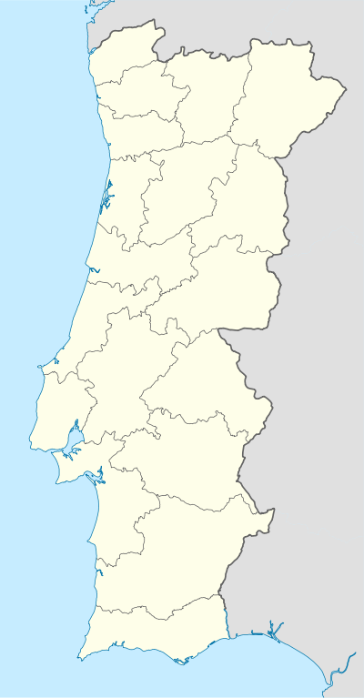 LPCO Location in Portugal | |||||||||||
| Runways | |||||||||||
| |||||||||||
Coimbra Airport (IATA: CBP, ICAO: LPCO), also known as Bissaya Barreto Aerodrome (Portuguese: Aeródromo Municipal Bissaya Barreto), is an airport serving Coimbra, Portugal.
Overview
The Aeródromo Municipal Bissaya Barreto is managed by the Câmara Municipal de Coimbra[2] and it is the headquarters of several entities like the Aeroclube de Coimbra,[3] I.A.C. - Indústrias Aeronáuticas de Coimbra and Publivoo.[4] The Aero Clube da Figueira da Foz[5] also has its operational base at this airfield.
Access
This airfield is connected with the A1 motorway, Portugal's main highway.
See also
References
External links
This article is issued from Wikipedia - version of the 12/4/2016. The text is available under the Creative Commons Attribution/Share Alike but additional terms may apply for the media files.