Clover Creek (Bruneau River)
| Clover Creek | |
| Country | United States |
|---|---|
| State | Idaho |
| County | Owyhee County, Idaho |
| Source | |
| - elevation | 5,229 ft (1,594 m) [1] |
| - coordinates | 42°09′28″N 115°12′43″W / 42.15778°N 115.21194°W [2] |
| Mouth | Bruneau River |
| - location | Bruneau – Jarbidge Rivers Wilderness, Owyhee County, Idaho |
| - elevation | 3,218 ft (981 m) [2] |
| - coordinates | 42°34′35″N 115°38′07″W / 42.57639°N 115.63528°WCoordinates: 42°34′35″N 115°38′07″W / 42.57639°N 115.63528°W [2] |
| Length | 55 mi (89 km) [3] |
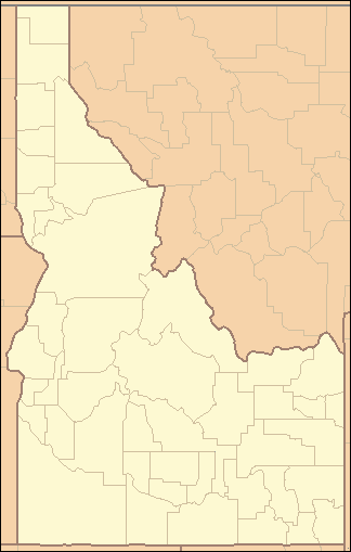 Location of the mouth of Clover Creek in Idaho
| |
Clover Creek (previously East Fork Bruneau River[2]) is a 55-mile (89 km) long[3] tributary of the Bruneau River in the U.S. state of Idaho. Beginning at an elevation of 5,229 feet (1,594 m)[1] in southeastern Owyhee County, it flows generally northwest through East Fork Bruneau Canyon to its mouth in the Bruneau – Jarbidge Rivers Wilderness,[4] at an elevation of 3,218 feet (980.8 m).[2]
See also
References
- 1 2 Source elevation derived from Google Earth search using GNIS source coordinates.
- 1 2 3 4 5 "Clover Creek". Geographic Names Information System. United States Geological Survey. June 21, 1979. Retrieved July 16, 2013.
- 1 2 "National Hydrography Dataset". United States Geological Survey. Retrieved July 16, 2013.
- ↑ Idaho Road and Recreation Atlas (Map) (2nd ed.). 1:250,000. Benchmark Maps. 2010. pp. 82–83. ISBN 978-0-929591-06-3. OCLC 567571371.
This article is issued from Wikipedia - version of the 9/11/2016. The text is available under the Creative Commons Attribution/Share Alike but additional terms may apply for the media files.