Clatford

Coordinates: 51°24′54″N 1°46′16″W / 51.415°N 1.771°W
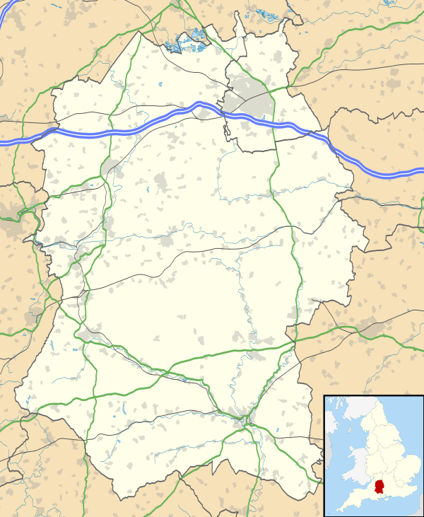
Clatford is a small hamlet (formerly a village) approximately 1 mile (1.6 km) west of the village of Manton and about 2 miles (3.2 km) west of Marlborough, which is the nearest town, in Wiltshire, England. It is just south of the River Kennet and the A4 primary route.
In the 14th century Clatford was comparable in size with the neighbouring village of Manton; in 1801 there were 122 inhabitants.[1] Today Clatford is a rural community made up of Clatford Hall with Clatford Farm, several houses clustered around a crossroads and several other houses spread further out.
Clatford Hall dates from the later 16th century and is Grade II* listed.[2]
Clatford is in the civil parish of Preshute.
External links
![]() Media related to Clatford at Wikimedia Commons
Media related to Clatford at Wikimedia Commons
References
- ↑ "Victoria County History - Wiltshire - Vol 12 pp160-184 - Parishes: Preshute". British History Online. University of London. Retrieved 2 April 2015.
- ↑ Historic England. "Clatford Hall (1284448)". National Heritage List for England. Retrieved 2 April 2015.