Clarence Island, Chile
This article is about island in Chile. For other uses, see Clarence Island (disambiguation).
| Native name: <span class="nickname" ">Isla Clarence | |
|---|---|
 Clarence Island | |
| Geography | |
| Coordinates | 54°10′S 71°50′W / 54.167°S 71.833°WCoordinates: 54°10′S 71°50′W / 54.167°S 71.833°W |
| Archipelago | Tierra del Fuego |
| Adjacent bodies of water | Pacific ocean |
| Area | 1,111 km2 (429 sq mi) |
| Administration | |
| Region | Magallanes Region |
| Province | Magallanes Province |
| Communes of Chile | Punta Arenas |
| Demographics | |
| Population | 5 () |
| Additional information | |
| NGA UFI -877469 | |
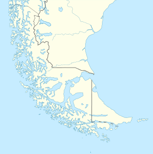
Clarence Island (Spanish: Isla Clarence) is an island in the Magallanes Region. It belongs to the Tierra del Fuego archipelago and to the municipality of Punta Arenas. It is located just south of Brunswick Peninsula (on the south side of Froward Reach).
Clarence Island extends from Magdalena Channel and Cockburn Channel to Bárbara Channel; and the whole length of its northern coast is indented by sounds stretching deeply into the island.
Literature
This article is issued from Wikipedia - version of the 11/14/2016. The text is available under the Creative Commons Attribution/Share Alike but additional terms may apply for the media files.